Area Overview for NR9 5QH
Photos of NR9 5QH
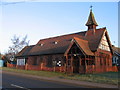
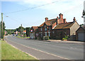
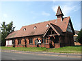

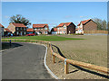

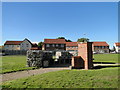
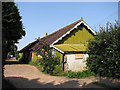
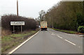
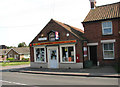

16 photos from this area
Area Information
Key information about the NR9 5QH including its size, population, and administrative classification.
- Area Type
- Postcode
- Area Size
- 4.3 hectares
- Population
- 1462
- Population Density
- 51 people/km²
House Prices in NR9 5QH
9
Properties
£177,790
Average Sold Price
£40,000
Lowest Price
£350,000
Highest Price
Showing 9 properties
| Address | Type | Beds | Baths | Last Sale Price | Last Sale Date | |
|---|---|---|---|---|---|---|
| Meadow View, Common Lane, Great Witchingham, NR9 5QH | Bungalow | 4 | 2 | £350,000 | Feb 2019 | |
| 10 Common Lane, Great Witchingham, NR9 5QH | Bungalow | 4 | - | £174,000 | Dec 2015 | |
| 11 Common Lane, Great Witchingham, NR9 5QH | Bungalow | 4 | - | £215,000 | Nov 2012 | |
| Foxhills, Common Lane, Great Witchingham, NR9 5QH | Bungalow | - | - | £109,950 | Oct 2000 | |
| Rose Cottage, Common Lane, Great Witchingham, NR9 5QH | Detached | - | - | £40,000 | Nov 1999 | |
| Annexe, Amberley Lodge, Common Lane, Great Witchingham, NR9 5QH | Bungalow | 4 | - | - | - | |
| Awp Solutions Limited, Common Lane, Great Witchingham, NR9 5QH | Industrial | - | - | - | - | |
| 12 Common Lane, Great Witchingham, NR9 5QH | Detached | - | - | - | - | |
| Amberley Lodge, Common Lane, Great Witchingham, NR9 5QH | house | - | - | - | - |
Energy Efficiency in NR9 5QH
Amenities
Schools
| Rank | School | Type | Entry gender | Ages |
|---|
Explore more schools in this area
Go to Schools tabDemographics
Household Size
Two person
most common
Accommodation Type
Houses
most common
Tenure
75
majority
Ethnic Group
White
most common
Religion
N/A
most common
Household Composition
N/A
most common
Age
47
median
Adults (30-64 years)
most common
Household Deprivation
N/A
with no deprivation
NS-SEC
35
in Lower managerial occupations
Explore more demographic insights in this area
Go to Demographics tabPlanning
Planning Constraints
- Flood RiskPremium
- Ramsar Wetland SitesPremium
- Area of Outstanding Natural BeautyPremium
- Protected Nature ReservePremium
- Protected WoodlandPremium