Area Overview for NR9 5NF
Photos of NR9 5NF
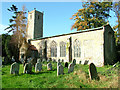
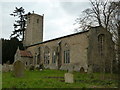
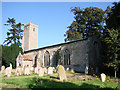
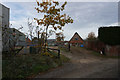
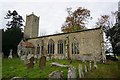
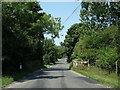
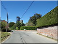
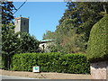
25 photos from this area
Area Information
Key information about the NR9 5NF including its size, population, and administrative classification.
- Area Type
- Postcode
- Area Size
- 70.8 hectares
- Population
- 1259
- Population Density
- 29 people/km²
House Prices in NR9 5NF
11
Properties
£325,000
Average Sold Price
£25,000
Lowest Price
£625,000
Highest Price
Showing 11 properties
| Address | Type | Beds | Baths | Last Sale Price | Last Sale Date | |
|---|---|---|---|---|---|---|
| Pyghtle, Hall Road, Alderford, NR9 5NF | house | - | - | £415,000 | May 2019 | |
| 2, Church Farm Cottages, Hall Road, Alderford, NR9 5NF | Cottage | 2 | 1 | £235,000 | Apr 2019 | |
| Bluesky Barn, Hall Road, Alderford, NR9 5NF | house | - | - | £25,000 | Sep 2016 | |
| The Old Rectory, Hall Road, Alderford, NR9 5NF | Detached | 7 | 2 | £625,000 | Aug 2011 | |
| Alderford Barns, Church Farm, Hall Road, Alderford, NR9 5NF | Detached | 7 | - | - | - | |
| Caravan, Church Farm, Hall Road, Alderford, NR9 5NF | Mobile Home | - | - | - | - | |
| Walnut Tree Barn, Hall Road, Alderford, NR9 5NF | Bungalow | - | - | - | - | |
| Dovecote Barn, Hall Road, Alderford, NR9 5NF | house | - | - | - | - | |
| Dovecote Lodge, Hall Road, Alderford, NR9 5NF | Semi-detached | - | - | - | - | |
| Plough Meadow Cottage, Hall Road, Alderford, NR9 5NF | Semi-detached | - | - | - | - |
Page 1 of 2
Energy Efficiency in NR9 5NF
Amenities
Schools
| Rank | School | Type | Entry gender | Ages |
|---|
Explore more schools in this area
Go to Schools tabDemographics
Household Size
Two person
most common
Accommodation Type
Houses
most common
Tenure
75
majority
Ethnic Group
White
most common
Religion
N/A
most common
Household Composition
N/A
most common
Age
47
median
Adults (30-64 years)
most common
Household Deprivation
N/A
with no deprivation
NS-SEC
36
in Lower managerial occupations
Explore more demographic insights in this area
Go to Demographics tabPlanning
Planning Constraints
- Flood RiskPremium
- Ramsar Wetland SitesPremium
- Area of Outstanding Natural BeautyPremium
- Protected WoodlandPremium