Area Overview for NR9 5AA
Photos of NR9 5AA
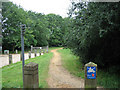
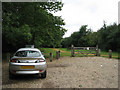
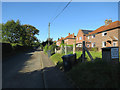
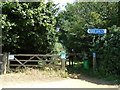
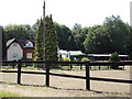
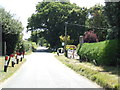
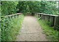
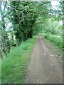
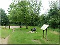
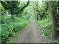
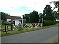
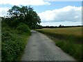
31 photos from this area
Area Information
Key information about the NR9 5AA including its size, population, and administrative classification.
- Area Type
- Postcode
- Area Size
- 1.1 km²
- Population
- 1259
- Population Density
- 29 people/km²
House Prices in NR9 5AA
26
Properties
£196,951
Average Sold Price
£60,000
Lowest Price
£325,000
Highest Price
Showing 26 properties
| Address | Type | Beds | Baths | Last Sale Price | Last Sale Date | |
|---|---|---|---|---|---|---|
| Ash Tree Lodge, Station Road, Attlebridge, NR9 5AA | Bungalow | - | - | £325,000 | May 2023 | |
| 7 Station Road, Attlebridge, NR9 5AA | Semi-detached | 2 | 1 | £235,000 | Jan 2020 | |
| 11 Station Road, Attlebridge, NR9 5AA | Semi-detached | 3 | 1 | £232,500 | May 2018 | |
| Lone Tree Cottage, 3 Station Road, Attlebridge, NR9 5AA | house | - | - | £220,000 | Feb 2018 | |
| 5 Station Road, Attlebridge, NR9 5AA | Semi-detached | 3 | - | £183,500 | Dec 2017 | |
| Ashbridge Cottage, Station Road, Attlebridge, NR9 5AA | Bungalow | 3 | 1 | £205,555 | Oct 2016 | |
| 8 Station Road, Attlebridge, NR9 5AA | Semi-detached | 3 | 1 | £161,000 | Sep 2013 | |
| 15 Station Road, Attlebridge, NR9 5AA | Semi-detached | - | - | £149,950 | Oct 2003 | |
| 8A Station Road, Attlebridge, NR9 5AA | house | - | - | £197,000 | Sep 2003 | |
| 12 Station Road, Attlebridge, NR9 5AA | Semi-detached | - | - | £60,000 | Mar 1998 |
Page 1 of 3
Energy Efficiency in NR9 5AA
Amenities
Schools
| Rank | School | Type | Entry gender | Ages |
|---|
Explore more schools in this area
Go to Schools tabDemographics
Household Size
Two person
most common
Accommodation Type
Houses
most common
Tenure
75
majority
Ethnic Group
White
most common
Religion
N/A
most common
Household Composition
N/A
most common
Age
47
median
Adults (30-64 years)
most common
Household Deprivation
N/A
with no deprivation
NS-SEC
36
in Lower managerial occupations
Explore more demographic insights in this area
Go to Demographics tabPlanning
Planning Constraints
- Flood RiskPremium
- Ramsar Wetland SitesPremium
- Area of Outstanding Natural BeautyPremium
- Protected Nature ReservePremium
- Protected WoodlandPremium