Area Overview for NR9 5BA
Photos of NR9 5BA
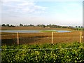
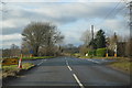
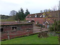
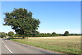
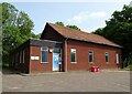
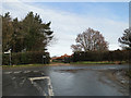
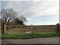
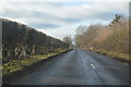
29 photos from this area
Area Information
Key information about the NR9 5BA including its size, population, and administrative classification.
- Area Type
- Postcode
- Area Size
- 14.9 hectares
- Population
- 1462
- Population Density
- 51 people/km²
House Prices in NR9 5BA
6
Properties
£767,500
Average Sold Price
£475,000
Lowest Price
£1,090,000
Highest Price
Showing 6 properties
| Address | Type | Beds | Baths | Last Sale Price | Last Sale Date | |
|---|---|---|---|---|---|---|
| Willow Barn, Mattishall Road, Honingham, NR9 5BA | house | 5 | 2 | £940,000 | Jun 2023 | |
| Grange Farm, Mattishall Road, Honingham, NR9 5BA | house | - | - | £1,090,000 | Dec 2021 | |
| Charterhouse, Mattishall Road, East Tuddenham, NR9 5BA | Detached | 5 | 4 | £565,000 | Sep 2020 | |
| Wisteria Barn, Mattishall Road, Honingham, NR9 5BA | Detached | 4 | 3 | £475,000 | Aug 2014 | |
| Annexe, Grange Farm, Mattishall Road, Honingham, NR9 5BA | Flat | - | - | - | - | |
| Tennis 38M From Grange Farm, Mattishall Road 51M From Unnamed Road, Mattishall Road, Honingham, NR9 5BA | Leisure | - | - | - | - |
Energy Efficiency in NR9 5BA
Amenities
Schools
| Rank | School | Type | Entry gender | Ages |
|---|
Explore more schools in this area
Go to Schools tabDemographics
Household Size
Two person
most common
Accommodation Type
Houses
most common
Tenure
75
majority
Ethnic Group
White
most common
Religion
N/A
most common
Household Composition
N/A
most common
Age
47
median
Adults (30-64 years)
most common
Household Deprivation
N/A
with no deprivation
NS-SEC
35
in Lower managerial occupations
Explore more demographic insights in this area
Go to Demographics tabPlanning
Planning Constraints
- Flood RiskPremium
- Ramsar Wetland SitesPremium
- Area of Outstanding Natural BeautyPremium
- Protected Nature ReservePremium
- Protected WoodlandPremium