Area Overview for NR9 4JX
Photos of NR9 4JX
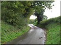
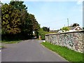
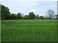
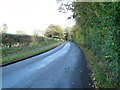
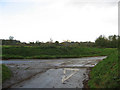
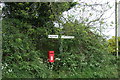
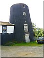
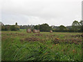
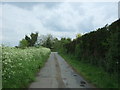
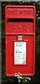
10 photos from this area
Area Information
Key information about the NR9 4JX including its size, population, and administrative classification.
- Area Type
- Postcode
- Area Size
- 1.7 hectares
- Population
- 1464
- Population Density
- 1305 people/km²
House Prices in NR9 4JX
28
Properties
£231,853
Average Sold Price
£41,000
Lowest Price
£575,000
Highest Price
Showing 28 properties
| Address | Type | Beds | Baths | Last Sale Price | Last Sale Date | |
|---|---|---|---|---|---|---|
| 11 Hall Lane, Hingham, NR9 4JX | Terraced | 2 | 1 | £255,000 | Sep 2025 | |
| 45 Hall Lane, Hingham, NR9 4JX | house | 3 | - | £575,000 | Jan 2021 | |
| 7 Hall Lane, Hingham, NR9 4JX | Semi-detached | 4 | 1 | £208,000 | Dec 2020 | |
| The Cottage, 13 Hall Lane, Hingham, NR9 4JX | Semi-detached | 2 | - | £195,000 | Nov 2019 | |
| 29 Hall Lane, Hingham, NR9 4JX | Bungalow | 2 | 1 | £210,000 | Dec 2018 | |
| Walnut Tree House, Hall Lane, Hingham, NR9 4JX | Detached | 4 | 2 | £427,000 | Sep 2017 | |
| 10 Hall Lane, Hingham, NR9 4JX | Detached | 3 | - | £325,000 | Feb 2017 | |
| 15 Hall Lane, Hingham, NR9 4JX | Bungalow | 2 | - | £165,000 | Nov 2015 | |
| 9 Hall Lane, Hingham, NR9 4JX | Semi-detached | 2 | - | £240,000 | Apr 2013 | |
| 29A Hall Lane, Hingham, NR9 4JX | Detached | - | - | £250,000 | Oct 2007 |
Page 1 of 3
Energy Efficiency in NR9 4JX
Amenities
Schools
| Rank | School | Type | Entry gender | Ages |
|---|
Explore more schools in this area
Go to Schools tabDemographics
Household Size
Two person
most common
Accommodation Type
Houses
most common
Tenure
65
majority
Ethnic Group
White
most common
Religion
N/A
most common
Household Composition
N/A
most common
Age
47
median
Adults (30-64 years)
most common
Household Deprivation
N/A
with no deprivation
NS-SEC
34
in Lower managerial occupations
Explore more demographic insights in this area
Go to Demographics tabPlanning
Planning Constraints
- Flood RiskPremium
- Ramsar Wetland SitesPremium
- Area of Outstanding Natural BeautyPremium
- Protected Nature ReservePremium
- Protected WoodlandPremium