Area Overview for NR6 5NU
Photos of NR6 5NU
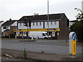
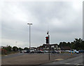
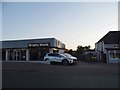
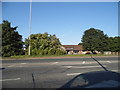
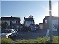
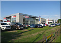
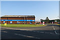
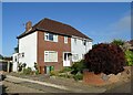
32 photos from this area
Area Information
Key information about the NR6 5NU including its size, population, and administrative classification.
- Area Type
- Postcode
- Area Size
- 1.4 hectares
- Population
- Not available
- Population Density
- Not available
House Prices in NR6 5NU
23
Properties
£200,496
Average Sold Price
£70,000
Lowest Price
£360,000
Highest Price
Showing 23 properties
| Address | Type | Beds | Baths | Last Sale Price | Last Sale Date | |
|---|---|---|---|---|---|---|
| 19 Chapel Court, Hellesdon, NR6 5NU | Detached | 4 | 1 | £360,000 | Dec 2024 | |
| 25 Chapel Court, Hellesdon, NR6 5NU | Bungalow | 3 | - | £220,000 | Apr 2019 | |
| 14 Chapel Court, Hellesdon, NR6 5NU | Detached | 4 | 1 | £265,000 | May 2018 | |
| 22 Chapel Court, Hellesdon, NR6 5NU | Bungalow | 3 | 1 | £240,000 | May 2018 | |
| 6 Chapel Court, Hellesdon, NR6 5NU | Detached | 4 | 2 | £287,000 | Apr 2018 | |
| 23 Chapel Court, Hellesdon, NR6 5NU | Bungalow | 3 | 1 | £195,000 | Jun 2017 | |
| 15 Chapel Court, Hellesdon, NR6 5NU | Detached | 4 | 1 | £240,000 | Feb 2017 | |
| 26 Chapel Court, Hellesdon, NR6 5NU | Bungalow | - | - | £279,500 | May 2014 | |
| 18 Chapel Court, Hellesdon, NR6 5NU | house | 4 | 1 | £170,000 | Oct 2009 | |
| 4 Chapel Court, Hellesdon, NR6 5NU | Detached | 4 | - | £118,000 | Oct 2001 |
Page 1 of 3
Energy Efficiency in NR6 5NU
Amenities
Schools
| Rank | School | Type | Entry gender | Ages |
|---|
Explore more schools in this area
Go to Schools tabDemographics
Household Size
Two person
most common
Accommodation Type
Houses
most common
Tenure
82
majority
Ethnic Group
White
most common
Religion
N/A
most common
Household Composition
N/A
most common
Age
47
median
Adults (30-64 years)
most common
Household Deprivation
N/A
with no deprivation
NS-SEC
27
in Lower managerial occupations
Explore more demographic insights in this area
Go to Demographics tabPlanning
Planning Constraints
- Flood RiskPremium
- Ramsar Wetland SitesPremium
- Area of Outstanding Natural BeautyPremium
- Protected Nature ReservePremium
- Protected WoodlandPremium