Area Overview for NR4 6BS
Photos of NR4 6BS
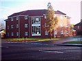
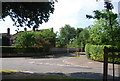
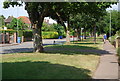
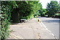
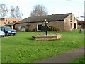
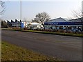
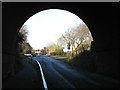
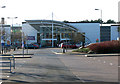
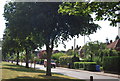
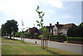
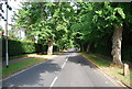
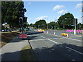
100 photos from this area
Area Information
Key information about the NR4 6BS including its size, population, and administrative classification.
- Area Type
- Postcode
- Area Size
- 2.4 hectares
- Population
- 1883
- Population Density
- 4149 people/km²
House Prices in NR4 6BS
46
Properties
£191,036
Average Sold Price
£128,000
Lowest Price
£265,000
Highest Price
Showing 46 properties
| Address | Type | Beds | Baths | Last Sale Price | Last Sale Date | |
|---|---|---|---|---|---|---|
| 33 Robin Hood Road, Norwich, NR4 6BS | house | 3 | 1 | £265,000 | Aug 2025 | |
| 45 Robin Hood Road, Norwich, NR4 6BS | Semi-detached | 3 | 1 | £230,000 | Dec 2024 | |
| 31 Robin Hood Road, Norwich, NR4 6BS | Semi-detached | 3 | 2 | £250,000 | Oct 2023 | |
| 59 Robin Hood Road, Norwich, NR4 6BS | Semi-detached | 3 | - | £262,200 | Mar 2023 | |
| 41 Robin Hood Road, Norwich, NR4 6BS | house | - | - | £252,000 | Dec 2022 | |
| 29 Robin Hood Road, Norwich, NR4 6BS | house | 3 | - | £260,000 | Dec 2020 | |
| 15 Robin Hood Road, Norwich, NR4 6BS | Terraced | 3 | 1 | £182,500 | Aug 2020 | |
| 19 Robin Hood Road, Norwich, NR4 6BS | Semi-detached | 3 | 1 | £197,500 | Feb 2020 | |
| 10 Robin Hood Road, Norwich, NR4 6BS | Terraced | 4 | 1 | £195,500 | Sep 2019 | |
| 23 Robin Hood Road, Norwich, NR4 6BS | Semi-detached | 3 | - | £172,500 | Aug 2014 |
Page 1 of 5
Energy Efficiency in NR4 6BS
Amenities
Schools
| Rank | School | Type | Entry gender | Ages |
|---|
Explore more schools in this area
Go to Schools tabDemographics
Household Size
Family (3-5 people)
most common
Accommodation Type
Houses
most common
Tenure
39
majority
Ethnic Group
White
most common
Religion
N/A
most common
Household Composition
N/A
most common
Age
47
median
Adults (30-64 years)
most common
Household Deprivation
N/A
with no deprivation
NS-SEC
22
in Lower managerial occupations
Explore more demographic insights in this area
Go to Demographics tabPlanning
Planning Constraints
- Flood RiskPremium
- Ramsar Wetland SitesPremium
- Area of Outstanding Natural BeautyPremium
- Protected Nature ReservePremium
- Protected WoodlandPremium