Area Overview for NR33 8WN
Photos of NR33 8WN
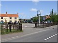
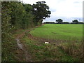
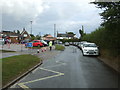
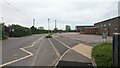
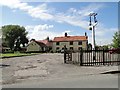
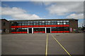
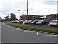
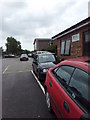
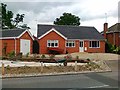
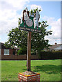
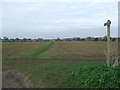
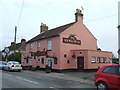
16 photos from this area
Area Information
Key information about the NR33 8WN including its size, population, and administrative classification.
- Area Type
- Postcode
- Area Size
- 4.4 hectares
- Population
- 1823
- Population Density
- 446 people/km²
House Prices in NR33 8WN
13
Properties
£233,029
Average Sold Price
£182,950
Lowest Price
£310,000
Highest Price
Showing 13 properties
| Address | Type | Beds | Baths | Last Sale Price | Last Sale Date | |
|---|---|---|---|---|---|---|
| 4 Thixendale, Carlton Colville, NR33 8WN | Detached | 5 | 1 | £285,000 | Jan 2019 | |
| 1 Thixendale, Carlton Colville, NR33 8WN | Detached | 5 | 4 | £275,000 | Aug 2017 | |
| 8 Thixendale, Carlton Colville, NR33 8WN | Detached | 6 | 4 | £234,000 | Aug 2016 | |
| 3 Thixendale, Carlton Colville, NR33 8WN | house | - | - | £310,000 | Apr 2016 | |
| 5 Thixendale, Carlton Colville, NR33 8WN | Detached | 4 | 1 | £285,000 | Oct 2015 | |
| 9 Thixendale, Carlton Colville, NR33 8WN | house | - | - | £192,500 | Dec 2012 | |
| 10 Thixendale, Carlton Colville, NR33 8WN | house | - | - | £186,500 | Apr 2011 | |
| 2 Thixendale, Carlton Colville, NR33 8WN | Detached | 4 | 1 | £215,950 | Apr 2007 | |
| 6 Thixendale, Carlton Colville, NR33 8WN | Detached | 6 | 4 | £214,500 | Oct 2006 | |
| 7 Thixendale, Carlton Colville, NR33 8WN | Detached | 5 | 3 | £220,000 | Aug 2005 |
Page 1 of 2
Energy Efficiency in NR33 8WN
Amenities
Schools
| Rank | School | Type | Entry gender | Ages |
|---|
Explore more schools in this area
Go to Schools tabDemographics
Household Size
Two person
most common
Accommodation Type
Houses
most common
Tenure
60
majority
Ethnic Group
White
most common
Religion
N/A
most common
Household Composition
N/A
most common
Age
47
median
Adults (30-64 years)
most common
Household Deprivation
N/A
with no deprivation
NS-SEC
21
in Lower managerial occupations
Explore more demographic insights in this area
Go to Demographics tabPlanning
Planning Constraints
- Flood RiskPremium
- Ramsar Wetland SitesPremium
- Area of Outstanding Natural BeautyPremium
- Protected Nature ReservePremium
- Protected WoodlandPremium