Area Overview for NR33 8TE
Photos of NR33 8TE
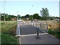
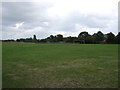
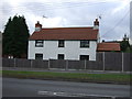
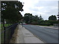
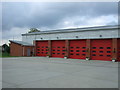
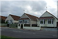
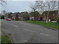
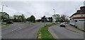
43 photos from this area
Area Information
Key information about the NR33 8TE including its size, population, and administrative classification.
- Area Type
- Postcode
- Area Size
- 9751 m²
- Population
- 1912
- Population Density
- 5934 people/km²
House Prices in NR33 8TE
26
Properties
£123,578
Average Sold Price
£37,000
Lowest Price
£214,950
Highest Price
Showing 26 properties
| Address | Type | Beds | Baths | Last Sale Price | Last Sale Date | |
|---|---|---|---|---|---|---|
| 26 Dovedale, Carlton Colville, NR33 8TE | Semi-detached | 2 | 1 | £157,500 | Oct 2018 | |
| 20 Dovedale, Carlton Colville, NR33 8TE | Semi-detached | 3 | 1 | £190,000 | Jul 2018 | |
| 1 Dovedale, Carlton Colville, NR33 8TE | Detached | 3 | 2 | £200,000 | Jun 2018 | |
| 16 Dovedale, Carlton Colville, NR33 8TE | Semi-detached | 3 | 1 | £152,000 | Feb 2018 | |
| 18 Dovedale, Carlton Colville, NR33 8TE | house | - | - | £144,000 | Dec 2016 | |
| 12 Dovedale, Carlton Colville, NR33 8TE | Detached | 4 | - | £214,950 | Aug 2015 | |
| 7 Dovedale, Carlton Colville, NR33 8TE | Semi-detached | 3 | 1 | £110,000 | Sep 2014 | |
| 22 Dovedale, Carlton Colville, NR33 8TE | Semi-detached | 3 | 1 | £141,500 | Jun 2014 | |
| 24 Dovedale, Carlton Colville, NR33 8TE | Semi-detached | 3 | 1 | £137,500 | Apr 2014 | |
| 11 Dovedale, Carlton Colville, NR33 8TE | house | - | - | £118,500 | Dec 2013 |
Page 1 of 3
Energy Efficiency in NR33 8TE
Amenities
Schools
| Rank | School | Type | Entry gender | Ages |
|---|
Explore more schools in this area
Go to Schools tabDemographics
Household Size
Family (3-5 people)
most common
Accommodation Type
Houses
most common
Tenure
79
majority
Ethnic Group
White
most common
Religion
N/A
most common
Household Composition
N/A
most common
Age
47
median
Adults (30-64 years)
most common
Household Deprivation
N/A
with no deprivation
NS-SEC
31
in Lower managerial occupations
Explore more demographic insights in this area
Go to Demographics tabPlanning
Planning Constraints
- Flood RiskPremium
- Ramsar Wetland SitesPremium
- Area of Outstanding Natural BeautyPremium
- Protected Nature ReservePremium
- Protected WoodlandPremium