Area Overview for NR33 8QU
Photos of NR33 8QU
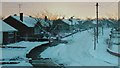
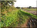
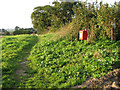
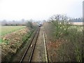
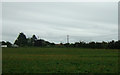
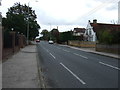
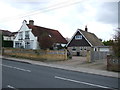
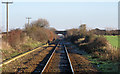
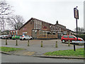
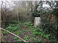
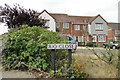
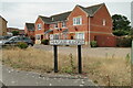
62 photos from this area
Area Information
Key information about the NR33 8QU including its size, population, and administrative classification.
- Area Type
- Postcode
- Area Size
- 1.7 hectares
- Population
- 1496
- Population Density
- 1542 people/km²
House Prices in NR33 8QU
46
Properties
£116,874
Average Sold Price
£19,500
Lowest Price
£207,500
Highest Price
Showing 46 properties
| Address | Type | Beds | Baths | Last Sale Price | Last Sale Date | |
|---|---|---|---|---|---|---|
| Brenden Cottage, 99 Beccles Road, Lowestoft, NR33 8QU | house | - | - | £190,000 | May 2025 | |
| 109 Beccles Road, Lowestoft, NR33 8QU | Terraced | 3 | 1 | £187,000 | Mar 2025 | |
| 119 Beccles Road, Lowestoft, NR33 8QU | Terraced | 2 | 2 | £165,000 | Oct 2024 | |
| 107 Beccles Road, Lowestoft, NR33 8QU | Terraced | 3 | 1 | £184,000 | Jun 2024 | |
| 103 Beccles Road, Lowestoft, NR33 8QU | house | - | - | £180,000 | Jan 2024 | |
| 61 Beccles Road, Lowestoft, NR33 8QU | Terraced | 2 | 1 | £207,500 | Nov 2023 | |
| 123 Beccles Road, Lowestoft, NR33 8QU | Terraced | 2 | 1 | £172,000 | Oct 2022 | |
| 65 Beccles Road, Lowestoft, NR33 8QU | house | 3 | 1 | £186,000 | Oct 2022 | |
| 77 Beccles Road, Lowestoft, NR33 8QU | house | - | - | £160,000 | Mar 2021 | |
| 117 Beccles Road, Lowestoft, NR33 8QU | Terraced | 2 | 2 | £132,500 | Nov 2019 |
Page 1 of 5
Energy Efficiency in NR33 8QU
Amenities
Schools
| Rank | School | Type | Entry gender | Ages |
|---|
Explore more schools in this area
Go to Schools tabDemographics
Household Size
Two person
most common
Accommodation Type
Houses
most common
Tenure
84
majority
Ethnic Group
White
most common
Religion
N/A
most common
Household Composition
N/A
most common
Age
47
median
Adults (30-64 years)
most common
Household Deprivation
N/A
with no deprivation
NS-SEC
28
in Lower managerial occupations
Explore more demographic insights in this area
Go to Demographics tabPlanning
Planning Constraints
- Flood RiskPremium
- Ramsar Wetland SitesPremium
- Area of Outstanding Natural BeautyPremium
- Protected Nature ReservePremium
- Protected WoodlandPremium