Area Overview for NR33 8QH
Photos of NR33 8QH
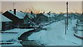
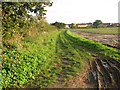
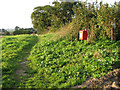
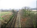
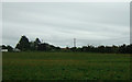
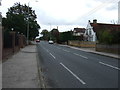
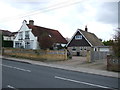
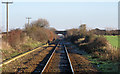
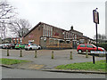
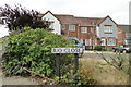
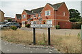
62 photos from this area
Area Information
Key information about the NR33 8QH including its size, population, and administrative classification.
- Area Type
- Postcode
- Area Size
- 6147 m²
- Population
- 1496
- Population Density
- 1542 people/km²
House Prices in NR33 8QH
8
Properties
£236,975
Average Sold Price
£179,950
Lowest Price
£318,000
Highest Price
Showing 8 properties
| Address | Type | Beds | Baths | Last Sale Price | Last Sale Date | |
|---|---|---|---|---|---|---|
| 10 Ivy Lane, Lowestoft, NR33 8QH | house | - | - | £318,000 | Oct 2021 | |
| 16 Ivy Lane, Lowestoft, NR33 8QH | Detached | 4 | 2 | £258,000 | Jul 2018 | |
| 2 Ivy Lane, Lowestoft, NR33 8QH | house | - | - | £290,000 | Dec 2015 | |
| 8 Ivy Lane, Lowestoft, NR33 8QH | Detached | - | - | £229,850 | Feb 2006 | |
| 14 Ivy Lane, Lowestoft, NR33 8QH | Detached | - | - | £205,000 | Aug 2005 | |
| 12 Ivy Lane, Lowestoft, NR33 8QH | Detached | - | - | £217,500 | Jun 2005 | |
| 4 Ivy Lane, Lowestoft, NR33 8QH | Detached | - | - | £179,950 | Apr 2005 | |
| 6 Ivy Lane, Lowestoft, NR33 8QH | Detached | - | - | £197,500 | Mar 2005 |
Energy Efficiency in NR33 8QH
Amenities
Schools
| Rank | School | Type | Entry gender | Ages |
|---|
Explore more schools in this area
Go to Schools tabDemographics
Household Size
Two person
most common
Accommodation Type
Houses
most common
Tenure
84
majority
Ethnic Group
White
most common
Religion
N/A
most common
Household Composition
N/A
most common
Age
47
median
Adults (30-64 years)
most common
Household Deprivation
N/A
with no deprivation
NS-SEC
28
in Lower managerial occupations
Explore more demographic insights in this area
Go to Demographics tabPlanning
Planning Constraints
- Flood RiskPremium
- Ramsar Wetland SitesPremium
- Area of Outstanding Natural BeautyPremium
- Protected Nature ReservePremium
- Protected WoodlandPremium