Area Overview for NR33 8PH
Photos of NR33 8PH
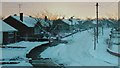
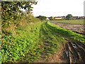
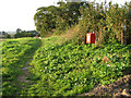
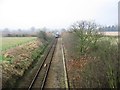
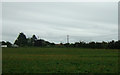
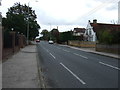
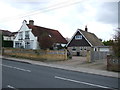
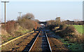
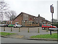
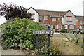
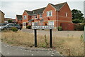
62 photos from this area
Area Information
Key information about the NR33 8PH including its size, population, and administrative classification.
- Area Type
- Postcode
- Area Size
- 9863 m²
- Population
- 1496
- Population Density
- 1542 people/km²
House Prices in NR33 8PH
24
Properties
£116,425
Average Sold Price
£52,000
Lowest Price
£270,000
Highest Price
Showing 24 properties
| Address | Type | Beds | Baths | Last Sale Price | Last Sale Date | |
|---|---|---|---|---|---|---|
| 3 Bittern Green, Lowestoft, NR33 8PH | Flat | 1 | 1 | £125,000 | Mar 2023 | |
| 9 Bittern Green, Lowestoft, NR33 8PH | Detached | 3 | 1 | £270,000 | Sep 2021 | |
| 8 Bittern Green, Lowestoft, NR33 8PH | Detached | 3 | 2 | £250,000 | Mar 2021 | |
| 12 Bittern Green, Lowestoft, NR33 8PH | house | - | - | £125,000 | Oct 2012 | |
| 13 Bittern Green, Lowestoft, NR33 8PH | house | - | - | £146,000 | Sep 2006 | |
| 6 Bittern Green, Lowestoft, NR33 8PH | Flat | - | - | £80,000 | Feb 2006 | |
| 6B Bittern Green, Lowestoft, NR33 8PH | Semi-detached | - | - | £74,950 | Sep 2004 | |
| 14 Bittern Green, Lowestoft, NR33 8PH | house | - | - | £131,000 | Dec 2003 | |
| 5 Bittern Green, Lowestoft, NR33 8PH | Flat | - | - | £85,000 | Sep 2003 | |
| 6A Bittern Green, Lowestoft, NR33 8PH | Flat | - | - | £68,500 | Nov 2002 |
Page 1 of 3
Energy Efficiency in NR33 8PH
Amenities
Schools
| Rank | School | Type | Entry gender | Ages |
|---|
Explore more schools in this area
Go to Schools tabDemographics
Household Size
Two person
most common
Accommodation Type
Houses
most common
Tenure
84
majority
Ethnic Group
White
most common
Religion
N/A
most common
Household Composition
N/A
most common
Age
47
median
Adults (30-64 years)
most common
Household Deprivation
N/A
with no deprivation
NS-SEC
28
in Lower managerial occupations
Explore more demographic insights in this area
Go to Demographics tabPlanning
Planning Constraints
- Flood RiskPremium
- Ramsar Wetland SitesPremium
- Area of Outstanding Natural BeautyPremium
- Protected Nature ReservePremium
- Protected WoodlandPremium