Area Overview for NR33 8DF
Photos of NR33 8DF
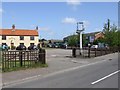
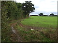
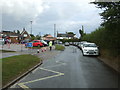
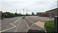
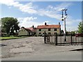

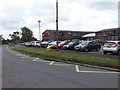
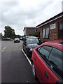
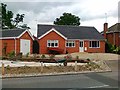
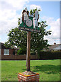
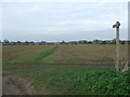
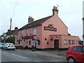
16 photos from this area
Area Information
Key information about the NR33 8DF including its size, population, and administrative classification.
- Area Type
- Postcode
- Area Size
- 18.0 hectares
- Population
- 1704
- Population Density
- 278 people/km²
House Prices in NR33 8DF
20
Properties
£110,406
Average Sold Price
£31,750
Lowest Price
£285,000
Highest Price
Showing 20 properties
| Address | Type | Beds | Baths | Last Sale Price | Last Sale Date | |
|---|---|---|---|---|---|---|
| 4 Gisleham Road, Carlton Colville, NR33 8DF | Terraced | 2 | 1 | £152,000 | Mar 2018 | |
| 7 Gisleham Road, Carlton Colville, NR33 8DF | Cottage | 3 | - | £145,000 | May 2014 | |
| 8 Gisleham Road, Carlton Colville, NR33 8DF | house | - | - | £125,000 | Nov 2011 | |
| Pantiles, 1A Gisleham Road, Carlton Colville, NR33 8DF | Bungalow | - | - | £285,000 | Apr 2010 | |
| Heathdene, Gisleham Road, Gisleham, NR33 8DF | Semi-detached | 2 | 1 | £47,000 | Jan 1999 | |
| 3 Gisleham Road, Carlton Colville, NR33 8DF | house | - | - | £31,750 | May 1998 | |
| Pendene, Gisleham Road, Gisleham, NR33 8DF | Semi-detached | - | - | £51,000 | Nov 1996 | |
| Bulldog Cottage, Gisleham Road, Gisleham, NR33 8DF | Bungalow | 4 | 1 | £46,500 | Nov 1996 | |
| The Bungalow, Gisleham Road, Gisleham, NR33 8DF | Detached | - | - | - | - | |
| Former School Bungalow, Gisleham Road, Gisleham, NR33 8DF | Detached | - | - | - | - |
Page 1 of 2
Energy Efficiency in NR33 8DF
Amenities
Schools
| Rank | School | Type | Entry gender | Ages |
|---|
Explore more schools in this area
Go to Schools tabDemographics
Household Size
Two person
most common
Accommodation Type
Houses
most common
Tenure
78
majority
Ethnic Group
White
most common
Religion
N/A
most common
Household Composition
N/A
most common
Age
47
median
Elderly (65+ years)
most common
Household Deprivation
N/A
with no deprivation
NS-SEC
26
in Lower managerial occupations
Explore more demographic insights in this area
Go to Demographics tabPlanning
Planning Constraints
- Flood RiskPremium
- Ramsar Wetland SitesPremium
- Area of Outstanding Natural BeautyPremium
- Protected Nature ReservePremium
- Protected WoodlandPremium