Area Overview for NR33 7RA
Photos of NR33 7RA
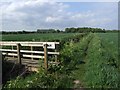
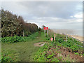
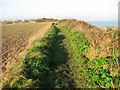
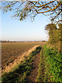
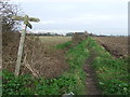
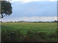
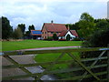
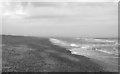
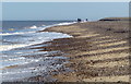
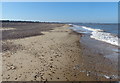
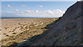
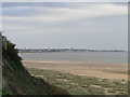
29 photos from this area
Area Information
Key information about the NR33 7RA including its size, population, and administrative classification.
- Area Type
- Postcode
- Area Size
- 58.9 hectares
- Population
- 1489
- Population Density
- 423 people/km²
House Prices in NR33 7RA
8
Properties
£369,400
Average Sold Price
£182,000
Lowest Price
£561,200
Highest Price
Showing 8 properties
| Address | Type | Beds | Baths | Last Sale Price | Last Sale Date | |
|---|---|---|---|---|---|---|
| Highdene, North Cliff, Kessingland, NR33 7RA | Semi-detached | 6 | 3 | £561,200 | Nov 2025 | |
| Seagull Cottage, North Cliff, Kessingland, NR33 7RA | house | - | - | £365,000 | Aug 2022 | |
| East Ridge, North Cliff, Kessingland, NR33 7RA | Detached | - | - | £182,000 | Oct 2007 | |
| Eastleigh, North Cliff, Kessingland, NR33 7RA | house | 6 | 2 | - | - | |
| Cheviot, North Cliff, Kessingland, NR33 7RA | Retail | 3 | 1 | - | - | |
| Merbreeze, North Cliff, Kessingland, NR33 7RA | house | - | - | - | - | |
| Five Acres, North Cliff, Kessingland, NR33 7RA | Detached | - | - | - | - | |
| Red House, North Cliff, Kessingland, NR33 7RA | house | - | - | - | - |
Energy Efficiency in NR33 7RA
Amenities
Schools
| Rank | School | Type | Entry gender | Ages |
|---|
Explore more schools in this area
Go to Schools tabDemographics
Household Size
Two person
most common
Accommodation Type
Houses
most common
Tenure
76
majority
Ethnic Group
White
most common
Religion
N/A
most common
Household Composition
N/A
most common
Age
47
median
Adults (30-64 years)
most common
Household Deprivation
N/A
with no deprivation
NS-SEC
26
in Lower managerial occupations
Explore more demographic insights in this area
Go to Demographics tabPlanning
Planning Constraints
- Flood RiskPremium
- Ramsar Wetland SitesPremium
- Area of Outstanding Natural BeautyPremium
- Protected Nature ReservePremium
- Protected WoodlandPremium