Area Overview for NR33 7JG
Photos of NR33 7JG
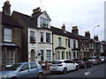
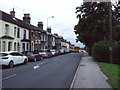
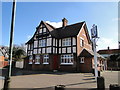
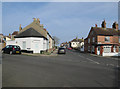
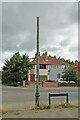
40 photos from this area
Area Information
Key information about the NR33 7JG including its size, population, and administrative classification.
- Area Type
- Postcode
- Area Size
- 2.1 hectares
- Population
- 1152
- Population Density
- 56096 people/km²
House Prices in NR33 7JG
23
Properties
£121,086
Average Sold Price
£26,000
Lowest Price
£287,500
Highest Price
Showing 23 properties
| Address | Type | Beds | Baths | Last Sale Price | Last Sale Date | |
|---|---|---|---|---|---|---|
| 46 Blackheath Road, Lowestoft, NR33 7JG | Retail | 3 | 2 | £287,500 | Jan 2023 | |
| 36 Blackheath Road, Lowestoft, NR33 7JG | Bungalow | 2 | 1 | £155,000 | Aug 2017 | |
| 22 Blackheath Road, Lowestoft, NR33 7JG | Semi-detached | 3 | - | £146,000 | Feb 2014 | |
| 24 Blackheath Road, Lowestoft, NR33 7JG | house | 3 | - | £115,000 | Mar 2012 | |
| 34 Blackheath Road, Lowestoft, NR33 7JG | Terraced | - | - | £100,000 | Jan 2007 | |
| 42 Blackheath Road, Lowestoft, NR33 7JG | Semi-detached | - | - | £112,000 | Jun 2006 | |
| 44 Blackheath Road, Lowestoft, NR33 7JG | Semi-detached | - | - | £112,995 | Apr 2006 | |
| 40 Blackheath Road, Lowestoft, NR33 7JG | Detached | - | - | £142,000 | Feb 2006 | |
| 4 Blackheath Road, Lowestoft, NR33 7JG | undefined | - | - | £70,500 | Aug 2003 | |
| 14 Blackheath Road, Lowestoft, NR33 7JG | Detached | - | - | £64,950 | Feb 2000 |
Page 1 of 3
Energy Efficiency in NR33 7JG
Amenities
Schools
| Rank | School | Type | Entry gender | Ages |
|---|
Explore more schools in this area
Go to Schools tabDemographics
Household Size
Two person
most common
Accommodation Type
Houses
most common
Tenure
80
majority
Ethnic Group
White
most common
Religion
N/A
most common
Household Composition
N/A
most common
Age
47
median
Adults (30-64 years)
most common
Household Deprivation
N/A
with no deprivation
NS-SEC
28
in Lower managerial occupations
Explore more demographic insights in this area
Go to Demographics tabPlanning
Planning Constraints
- Flood RiskPremium
- Ramsar Wetland SitesPremium
- Area of Outstanding Natural BeautyPremium
- Protected Nature ReservePremium
- Protected WoodlandPremium