Area Overview for NR33 7EB
Photos of NR33 7EB
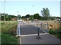
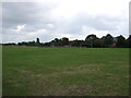
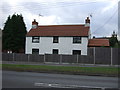
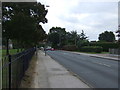
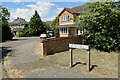
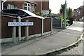
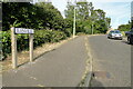
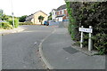
43 photos from this area
Area Information
Key information about the NR33 7EB including its size, population, and administrative classification.
- Area Type
- Postcode
- Area Size
- 4882 m²
- Population
- 1456
- Population Density
- 3135 people/km²
House Prices in NR33 7EB
14
Properties
£170,583
Average Sold Price
£38,000
Lowest Price
£325,000
Highest Price
Showing 14 properties
| Address | Type | Beds | Baths | Last Sale Price | Last Sale Date | |
|---|---|---|---|---|---|---|
| 23 Cranesbill Road, Lowestoft, NR33 7EB | Detached | 4 | 2 | £325,000 | May 2025 | |
| 41 Cranesbill Road, Lowestoft, NR33 7EB | Semi-detached | 2 | 1 | £195,000 | Dec 2023 | |
| 37 Cranesbill Road, Lowestoft, NR33 7EB | Semi-detached | 2 | 1 | £234,000 | Jul 2023 | |
| 27 Cranesbill Road, Lowestoft, NR33 7EB | Terraced | 2 | 1 | £195,000 | May 2023 | |
| 31 Cranesbill Road, Lowestoft, NR33 7EB | house | 2 | 1 | £230,000 | Jan 2023 | |
| 29 Cranesbill Road, Lowestoft, NR33 7EB | Terraced | 2 | 1 | £204,500 | Aug 2022 | |
| 33 Cranesbill Road, Lowestoft, NR33 7EB | Semi-detached | 2 | - | £146,500 | Aug 2016 | |
| 49 Cranesbill Road, Lowestoft, NR33 7EB | Bungalow | 2 | - | £108,000 | Jul 2013 | |
| 25 Cranesbill Road, Lowestoft, NR33 7EB | Terraced | 2 | 1 | £110,000 | Aug 2012 | |
| 39 Cranesbill Road, Lowestoft, NR33 7EB | Bungalow | - | - | £118,000 | Mar 2011 |
Page 1 of 2
Energy Efficiency in NR33 7EB
Amenities
Schools
| Rank | School | Type | Entry gender | Ages |
|---|
Explore more schools in this area
Go to Schools tabDemographics
Household Size
Two person
most common
Accommodation Type
Houses
most common
Tenure
85
majority
Ethnic Group
White
most common
Religion
N/A
most common
Household Composition
N/A
most common
Age
47
median
Elderly (65+ years)
most common
Household Deprivation
N/A
with no deprivation
NS-SEC
23
in Lower managerial occupations
Explore more demographic insights in this area
Go to Demographics tabPlanning
Planning Constraints
- Flood RiskPremium
- Ramsar Wetland SitesPremium
- Area of Outstanding Natural BeautyPremium
- Protected Nature ReservePremium
- Protected WoodlandPremium