Area Overview for NR33 7DW
Photos of NR33 7DW
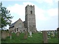
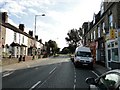
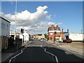
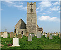
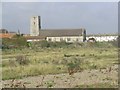
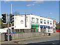
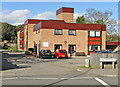
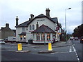
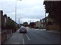
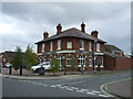
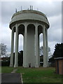
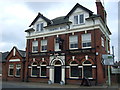
88 photos from this area
Area Information
Key information about the NR33 7DW including its size, population, and administrative classification.
- Area Type
- Postcode
- Area Size
- 1.1 hectares
- Population
- 1456
- Population Density
- 3135 people/km²
House Prices in NR33 7DW
17
Properties
£188,650
Average Sold Price
£115,000
Lowest Price
£310,000
Highest Price
Showing 17 properties
| Address | Type | Beds | Baths | Last Sale Price | Last Sale Date | |
|---|---|---|---|---|---|---|
| 52 Ship Road, Lowestoft, NR33 7DW | Semi-detached | 2 | 1 | £215,000 | Oct 2024 | |
| 46 Ship Road, Lowestoft, NR33 7DW | Bungalow | 3 | 1 | £285,000 | Oct 2023 | |
| 43 Ship Road, Lowestoft, NR33 7DW | Semi-detached | 3 | 2 | £310,000 | Feb 2023 | |
| 58 Ship Road, Lowestoft, NR33 7DW | Bungalow | - | - | £190,000 | Nov 2020 | |
| 35 Ship Road, Lowestoft, NR33 7DW | Bungalow | 2 | 1 | £194,500 | Aug 2017 | |
| 50 Ship Road, Lowestoft, NR33 7DW | Bungalow | 2 | 1 | £159,995 | Nov 2016 | |
| 25 Ship Road, Lowestoft, NR33 7DW | Semi-detached | 2 | 1 | £145,000 | Feb 2016 | |
| 41 Ship Road, Lowestoft, NR33 7DW | Bungalow | - | - | £115,000 | Aug 2011 | |
| 33 Ship Road, Lowestoft, NR33 7DW | Detached | - | - | £150,000 | Oct 2006 | |
| 56 Ship Road, Lowestoft, NR33 7DW | Semi-detached | 3 | 1 | £122,000 | Dec 2005 |
Page 1 of 2
Energy Efficiency in NR33 7DW
Amenities
Schools
| Rank | School | Type | Entry gender | Ages |
|---|
Explore more schools in this area
Go to Schools tabDemographics
Household Size
Two person
most common
Accommodation Type
Houses
most common
Tenure
85
majority
Ethnic Group
White
most common
Religion
N/A
most common
Household Composition
N/A
most common
Age
47
median
Elderly (65+ years)
most common
Household Deprivation
N/A
with no deprivation
NS-SEC
23
in Lower managerial occupations
Explore more demographic insights in this area
Go to Demographics tabPlanning
Planning Constraints
- Flood RiskPremium
- Ramsar Wetland SitesPremium
- Area of Outstanding Natural BeautyPremium
- Protected Nature ReservePremium
- Protected WoodlandPremium