Area Overview for NR33 7DP
Photos of NR33 7DP
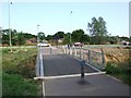
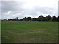
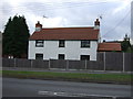
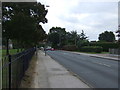
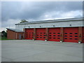
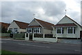
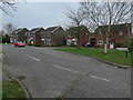
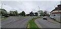
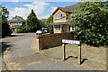
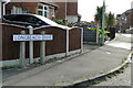
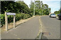
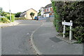
43 photos from this area
Area Information
Key information about the NR33 7DP including its size, population, and administrative classification.
- Area Type
- Postcode
- Area Size
- 2.0 hectares
- Population
- 1456
- Population Density
- 72461 people/km²
House Prices in NR33 7DP
46
Properties
£159,428
Average Sold Price
£43,000
Lowest Price
£320,000
Highest Price
Showing 46 properties
| Address | Type | Beds | Baths | Last Sale Price | Last Sale Date | |
|---|---|---|---|---|---|---|
| 63 Ship Road, Lowestoft, NR33 7DP | Semi-detached | 2 | 1 | £265,000 | Mar 2025 | |
| 96 Ship Road, Lowestoft, NR33 7DP | Semi-detached | 3 | 2 | £262,000 | Feb 2025 | |
| 82 Ship Road, Lowestoft, NR33 7DP | Semi-detached | 3 | 1 | £215,000 | Dec 2024 | |
| 88 Ship Road, Lowestoft, NR33 7DP | Bungalow | 2 | 1 | £227,500 | Feb 2024 | |
| 74 Ship Road, Lowestoft, NR33 7DP | Bungalow | 4 | 3 | £320,000 | Jul 2023 | |
| 100 Ship Road, Lowestoft, NR33 7DP | Semi-detached | 3 | 1 | £255,000 | Jun 2023 | |
| 61 Ship Road, Lowestoft, NR33 7DP | Bungalow | - | - | £235,000 | Nov 2021 | |
| 73 Ship Road, Lowestoft, NR33 7DP | Semi-detached | 2 | 1 | £260,000 | Sep 2021 | |
| 45 Ship Road, Lowestoft, NR33 7DP | Bungalow | - | - | £210,000 | May 2019 | |
| 64 Ship Road, Lowestoft, NR33 7DP | Bungalow | - | - | £142,000 | Dec 2018 |
Page 1 of 5
Energy Efficiency in NR33 7DP
Amenities
Schools
| Rank | School | Type | Entry gender | Ages |
|---|
Explore more schools in this area
Go to Schools tabDemographics
Household Size
N/A
most common
Accommodation Type
N/A
most common
Tenure
N/A
majority
Ethnic Group
N/A
most common
Religion
N/A
most common
Household Composition
N/A
most common
Age
N/A
median
N/A
most common
Household Deprivation
N/A
with no deprivation
NS-SEC
N/A
in Lower managerial occupations
Explore more demographic insights in this area
Go to Demographics tabPlanning
Planning Constraints
- Flood RiskPremium
- Ramsar Wetland SitesPremium
- Area of Outstanding Natural BeautyPremium
- Protected Nature ReservePremium
- Protected WoodlandPremium