Area Overview for NR33 0QL
Photos of NR33 0QL
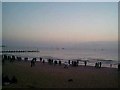
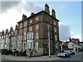
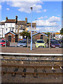
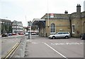
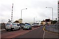
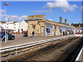
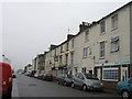
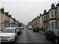
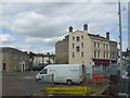
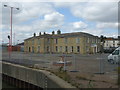
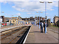
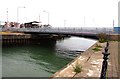
100 photos from this area
Area Information
Key information about the NR33 0QL including its size, population, and administrative classification.
- Area Type
- Postcode
- Area Size
- 8716 m²
- Population
- 1598
- Population Density
- 3138 people/km²
House Prices in NR33 0QL
100
Properties
£266,167
Average Sold Price
£120,000
Lowest Price
£390,000
Highest Price
Showing 100 properties
| Address | Type | Beds | Baths | Last Sale Price | Last Sale Date | |
|---|---|---|---|---|---|---|
| 22 Marine Parade, Lowestoft, NR33 0QL | Maisonette | 6 | 2 | £248,000 | Sep 2024 | |
| 23 Marine Parade, Lowestoft, NR33 0QL | Terraced | 5 | 4 | £290,000 | Jun 2024 | |
| 11 Marine Parade, Lowestoft, NR33 0QL | Terraced | 3 | 2 | £335,000 | Jun 2020 | |
| 19 Marine Parade, Lowestoft, NR33 0QL | house | 5 | 1 | £214,000 | Sep 2017 | |
| Basement Flat, 28-29 Marine Parade, Lowestoft, NR33 0QL | undefined | - | - | £390,000 | Nov 2006 | |
| 10 Marine Parade, Lowestoft, NR33 0QL | Terraced | 5 | 3 | £120,000 | Mar 2003 | |
| Flat A, 6 Marine Parade, Lowestoft, NR33 0QL | Maisonette | 2 | 2 | - | - | |
| Flat 1, 13 Marine Parade, Lowestoft, NR33 0QL | Maisonette | 2 | 1 | - | - | |
| Flat And Room 5, Hazeldene, 21 Marine Parade, Lowestoft, NR33 0QL | Land | 5 | 3 | - | - | |
| 14 Marine Parade, Lowestoft, NR33 0QL | Retail | 2 | 1 | - | - |
Page 1 of 10
Energy Efficiency in NR33 0QL
Amenities
Schools
| Rank | School | Type | Entry gender | Ages |
|---|
Explore more schools in this area
Go to Schools tabDemographics
Household Size
One person
most common
Accommodation Type
Flats
most common
Tenure
25
majority
Ethnic Group
White
most common
Religion
N/A
most common
Household Composition
N/A
most common
Age
47
median
Adults (30-64 years)
most common
Household Deprivation
N/A
with no deprivation
NS-SEC
17
in Lower managerial occupations
Explore more demographic insights in this area
Go to Demographics tabPlanning
Planning Constraints
- Flood RiskPremium
- Ramsar Wetland SitesPremium
- Area of Outstanding Natural BeautyPremium
- Protected Nature ReservePremium
- Protected WoodlandPremium