Area Overview for NR33 0PB
Photos of NR33 0PB
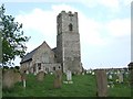
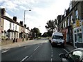
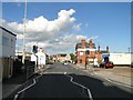
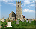
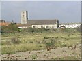
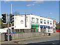
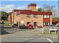
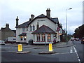
88 photos from this area
Area Information
Key information about the NR33 0PB including its size, population, and administrative classification.
- Area Type
- Postcode
- Area Size
- 5353 m²
- Population
- 1152
- Population Density
- 215199 people/km²
House Prices in NR33 0PB
5
Properties
£170,900
Average Sold Price
£75,000
Lowest Price
£420,000
Highest Price
Showing 5 properties
| Address | Type | Beds | Baths | Last Sale Price | Last Sale Date | |
|---|---|---|---|---|---|---|
| 615 London Road South, Lowestoft, NR33 0PB | house | - | - | £420,000 | Jun 2021 | |
| 613 London Road South, Lowestoft, NR33 0PB | Semi-detached | - | - | £100,000 | May 2006 | |
| 609 London Road South, Lowestoft, NR33 0PB | Detached | - | - | £152,500 | Nov 2003 | |
| Walmer House, London Road South, Lowestoft, NR33 0PB | Detached | - | - | £107,000 | Mar 1999 | |
| 611 London Road South, Lowestoft, NR33 0PB | Semi-detached | - | - | £75,000 | Aug 1998 |
Energy Efficiency in NR33 0PB
Amenities
Schools
| Rank | School | Type | Entry gender | Ages |
|---|
Explore more schools in this area
Go to Schools tabDemographics
Household Size
N/A
most common
Accommodation Type
N/A
most common
Tenure
N/A
majority
Ethnic Group
N/A
most common
Religion
N/A
most common
Household Composition
N/A
most common
Age
N/A
median
N/A
most common
Household Deprivation
N/A
with no deprivation
NS-SEC
N/A
in Lower managerial occupations
Explore more demographic insights in this area
Go to Demographics tabPlanning
Planning Constraints
- Flood RiskPremium
- Ramsar Wetland SitesPremium
- Area of Outstanding Natural BeautyPremium
- Protected Nature ReservePremium
- Protected WoodlandPremium