Area Overview for NR33 0NP
Photos of NR33 0NP
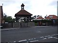

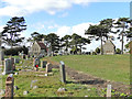
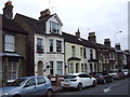
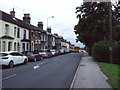
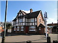
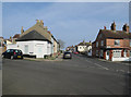
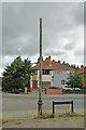
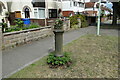
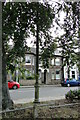
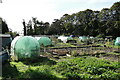
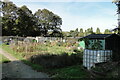
40 photos from this area
Area Information
Key information about the NR33 0NP including its size, population, and administrative classification.
- Area Type
- Postcode
- Area Size
- 3.1 hectares
- Population
- 1538
- Population Density
- 48978 people/km²
House Prices in NR33 0NP
21
Properties
£125,171
Average Sold Price
£82,000
Lowest Price
£185,000
Highest Price
Showing 21 properties
| Address | Type | Beds | Baths | Last Sale Price | Last Sale Date | |
|---|---|---|---|---|---|---|
| 19 Birds Lane, Lowestoft, NR33 0NP | Terraced | 3 | 1 | £151,000 | Jul 2025 | |
| 7 Birds Lane, Lowestoft, NR33 0NP | house | 3 | 2 | £185,000 | Feb 2025 | |
| 38 Birds Lane, Lowestoft, NR33 0NP | house | 1 | 1 | £130,000 | Dec 2021 | |
| 6 Birds Lane, Lowestoft, NR33 0NP | Semi-detached | 2 | 1 | £160,000 | Apr 2019 | |
| 4 Birds Lane, Lowestoft, NR33 0NP | Semi-detached | 2 | 1 | £106,000 | Feb 2016 | |
| 2 Birds Lane, Lowestoft, NR33 0NP | Bungalow | 2 | - | £135,000 | Aug 2015 | |
| 25 Birds Lane, Lowestoft, NR33 0NP | house | - | - | £177,000 | Jun 2015 | |
| 23 Birds Lane, Lowestoft, NR33 0NP | Bungalow | - | - | £137,000 | Jun 2014 | |
| 14 Birds Lane, Lowestoft, NR33 0NP | Bungalow | - | - | £90,000 | Mar 2011 | |
| 8 Birds Lane, Lowestoft, NR33 0NP | Semi-detached | - | - | £105,000 | Nov 2008 |
Page 1 of 3
Energy Efficiency in NR33 0NP
Amenities
Schools
| Rank | School | Type | Entry gender | Ages |
|---|
Explore more schools in this area
Go to Schools tabDemographics
Household Size
Two person
most common
Accommodation Type
Houses
most common
Tenure
68
majority
Ethnic Group
White
most common
Religion
N/A
most common
Household Composition
N/A
most common
Age
47
median
Adults (30-64 years)
most common
Household Deprivation
N/A
with no deprivation
NS-SEC
22
in Lower managerial occupations
Explore more demographic insights in this area
Go to Demographics tabPlanning
Planning Constraints
- Flood RiskPremium
- Ramsar Wetland SitesPremium
- Area of Outstanding Natural BeautyPremium
- Protected Nature ReservePremium
- Protected WoodlandPremium