Area Overview for NR33 0BP
Photos of NR33 0BP
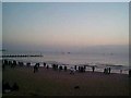
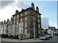
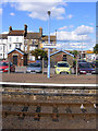
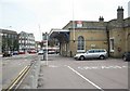
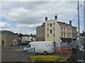
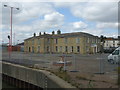
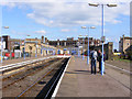
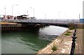
100 photos from this area
Area Information
Key information about the NR33 0BP including its size, population, and administrative classification.
- Area Type
- Postcode
- Area Size
- 1.0 hectares
- Population
- 1598
- Population Density
- 154092 people/km²
House Prices in NR33 0BP
54
Properties
£139,955
Average Sold Price
£29,100
Lowest Price
£262,500
Highest Price
Showing 54 properties
| Address | Type | Beds | Baths | Last Sale Price | Last Sale Date | |
|---|---|---|---|---|---|---|
| 22 Windsor Road, Lowestoft, NR33 0BP | house | 5 | 2 | £239,000 | Mar 2025 | |
| 7 Windsor Road, Lowestoft, NR33 0BP | Terraced | 5 | 3 | £262,500 | Dec 2024 | |
| 41 Windsor Road, Lowestoft, NR33 0BP | Terraced | 5 | 1 | £221,000 | Mar 2023 | |
| 23 Windsor Road, Lowestoft, NR33 0BP | Terraced | 5 | 2 | £250,000 | Jun 2022 | |
| 9 Windsor Road, Lowestoft, NR33 0BP | house | - | - | £260,000 | May 2022 | |
| 17 Windsor Road, Lowestoft, NR33 0BP | Terraced | 5 | 1 | £255,000 | Apr 2022 | |
| 27 Windsor Road, Lowestoft, NR33 0BP | house | 5 | - | £165,000 | May 2021 | |
| 8 Windsor Road, Lowestoft, NR33 0BP | house | - | - | £150,000 | Apr 2021 | |
| 36 Windsor Road, Lowestoft, NR33 0BP | Terraced | 4 | 2 | £125,000 | Jun 2020 | |
| The Old Coach House, 3 Windsor Road, Lowestoft, NR33 0BP | Detached | 2 | 1 | £48,000 | Apr 2020 |
Page 1 of 6
Energy Efficiency in NR33 0BP
Amenities
Schools
| Rank | School | Type | Entry gender | Ages |
|---|
Explore more schools in this area
Go to Schools tabDemographics
Household Size
One person
most common
Accommodation Type
Flats
most common
Tenure
25
majority
Ethnic Group
White
most common
Religion
N/A
most common
Household Composition
N/A
most common
Age
47
median
Adults (30-64 years)
most common
Household Deprivation
N/A
with no deprivation
NS-SEC
17
in Lower managerial occupations
Explore more demographic insights in this area
Go to Demographics tabPlanning
Planning Constraints
- Flood RiskPremium
- Ramsar Wetland SitesPremium
- Area of Outstanding Natural BeautyPremium
- Protected Nature ReservePremium
- Protected WoodlandPremium