Area Overview for NR32 2PA
Photos of NR32 2PA
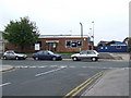


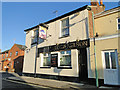

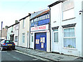


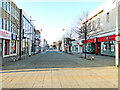
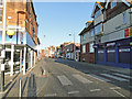
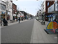
95 photos from this area
Area Information
Key information about the NR32 2PA including its size, population, and administrative classification.
- Area Type
- Postcode
- Area Size
- 5818 m²
- Population
- 2032
- Population Density
- 5961 people/km²
House Prices in NR32 2PA
14
Properties
£90,250
Average Sold Price
£17,000
Lowest Price
£236,000
Highest Price
Showing 14 properties
| Address | Type | Beds | Baths | Last Sale Price | Last Sale Date | |
|---|---|---|---|---|---|---|
| 83 Love Road, Lowestoft, NR32 2PA | Detached | - | - | £236,000 | Sep 2022 | |
| 45 Love Road, Lowestoft, NR32 2PA | Retail | 3 | 1 | £166,000 | Jun 2022 | |
| 81 Love Road, Lowestoft, NR32 2PA | Land | 4 | - | £89,000 | Apr 2022 | |
| 75 Love Road, Lowestoft, NR32 2PA | Terraced | 3 | 1 | £82,000 | Sep 2016 | |
| 73 Love Road, Lowestoft, NR32 2PA | Terraced | 3 | 1 | £74,500 | Dec 2013 | |
| 49 Love Road, Lowestoft, NR32 2PA | Terraced | 3 | 1 | £40,000 | May 1999 | |
| 71 Love Road, Lowestoft, NR32 2PA | house | - | - | £17,500 | Dec 1998 | |
| 69 Love Road, Lowestoft, NR32 2PA | Retail | 3 | 2 | £17,000 | Oct 1996 | |
| 51 Love Road, Lowestoft, NR32 2PA | Terraced | 3 | 1 | - | - | |
| 67A Love Road, Lowestoft, NR32 2PA | Flat | - | - | - | - |
Page 1 of 2
Energy Efficiency in NR32 2PA
Amenities
Schools
| Rank | School | Type | Entry gender | Ages |
|---|
Explore more schools in this area
Go to Schools tabDemographics
Household Size
One person
most common
Accommodation Type
Houses
most common
Tenure
30
majority
Ethnic Group
White
most common
Religion
N/A
most common
Household Composition
N/A
most common
Age
47
median
Adults (30-64 years)
most common
Household Deprivation
N/A
with no deprivation
NS-SEC
13
in Lower managerial occupations
Explore more demographic insights in this area
Go to Demographics tabPlanning
Planning Constraints
- Flood RiskPremium
- Ramsar Wetland SitesPremium
- Area of Outstanding Natural BeautyPremium
- Protected Nature ReservePremium
- Protected WoodlandPremium