Area Overview for NR32 2LS
Photos of NR32 2LS
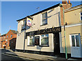
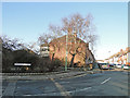
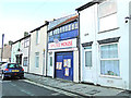
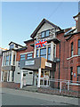
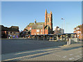
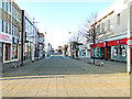
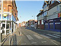
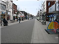
95 photos from this area
Area Information
Key information about the NR32 2LS including its size, population, and administrative classification.
- Area Type
- Postcode
- Area Size
- 3595 m²
- Population
- 1784
- Population Density
- 7085 people/km²
House Prices in NR32 2LS
12
Properties
£126,125
Average Sold Price
£95,000
Lowest Price
£160,000
Highest Price
Showing 12 properties
| Address | Type | Beds | Baths | Last Sale Price | Last Sale Date | |
|---|---|---|---|---|---|---|
| 161 St Peters Street, Lowestoft, NR32 2LS | Semi-detached | 3 | 1 | £160,000 | Apr 2025 | |
| 171 St Peters Street, Lowestoft, NR32 2LS | house | - | - | £130,000 | Jul 2023 | |
| 173 St Peters Street, Lowestoft, NR32 2LS | house | - | - | £95,000 | Mar 2016 | |
| 163 St Peters Street, Lowestoft, NR32 2LS | house | - | - | £119,500 | Aug 2005 | |
| 1 Oakwood Mews, Lowestoft, NR32 2LS | Terraced | 3 | 1 | - | - | |
| 3 Oakwood Mews, Lowestoft, NR32 2LS | house | - | - | - | - | |
| 2 Oakwood Mews, Lowestoft, NR32 2LS | house | - | - | - | - | |
| 159 St Peters Street, Lowestoft, NR32 2LS | Terraced | 3 | - | - | - | |
| Cross Keys Cottage, 165A St Peters Street, Lowestoft, NR32 2LS | Flat | 3 | - | - | - | |
| 169 St Peters Street, Lowestoft, NR32 2LS | Terraced | - | - | - | - |
Page 1 of 2
Energy Efficiency in NR32 2LS
Amenities
Schools
| Rank | School | Type | Entry gender | Ages |
|---|
Explore more schools in this area
Go to Schools tabDemographics
Household Size
One person
most common
Accommodation Type
Houses
most common
Tenure
38
majority
Ethnic Group
White
most common
Religion
N/A
most common
Household Composition
N/A
most common
Age
47
median
Adults (30-64 years)
most common
Household Deprivation
N/A
with no deprivation
NS-SEC
16
in Lower managerial occupations
Explore more demographic insights in this area
Go to Demographics tabPlanning
Planning Constraints
- Flood RiskPremium
- Ramsar Wetland SitesPremium
- Area of Outstanding Natural BeautyPremium
- Protected Nature ReservePremium
- Protected WoodlandPremium