Area Overview for NR29 3BB
Photos of NR29 3BB
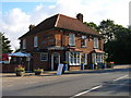
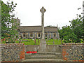
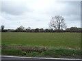
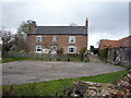
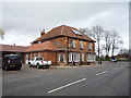
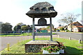
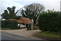
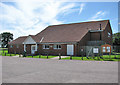
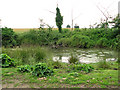
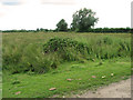
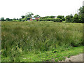
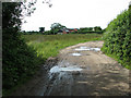
29 photos from this area
Area Information
Key information about the NR29 3BB including its size, population, and administrative classification.
- Area Type
- Postcode
- Area Size
- 11.0 hectares
- Population
- 1495
- Population Density
- 165 people/km²
House Prices in NR29 3BB
10
Properties
£276,125
Average Sold Price
£152,500
Lowest Price
£395,000
Highest Price
Showing 10 properties
| Address | Type | Beds | Baths | Last Sale Price | Last Sale Date | |
|---|---|---|---|---|---|---|
| Kitcheners Cottage, Pound Lane, Fleggburgh, NR29 3BB | Detached | 4 | 3 | £395,000 | Feb 2021 | |
| Pound Cottage, Pound Lane, Fleggburgh, NR29 3BB | Detached | 3 | 2 | £362,000 | Dec 2017 | |
| Jellicoe House, Pound Lane, Fleggburgh, NR29 3BB | Semi-detached | 3 | 1 | £195,000 | May 2016 | |
| Barnstable, Pound Lane, Fleggburgh, NR29 3BB | Detached | - | - | £152,500 | Oct 2002 | |
| 3, Uncles Cottages, Pound Lane, Fleggburgh, NR29 3BB | Terraced | 3 | 1 | - | - | |
| 5, Uncles Cottages, Pound Lane, Fleggburgh, NR29 3BB | Semi-detached | 4 | 2 | - | - | |
| 2, Uncles Cottages, Pound Lane, Fleggburgh, NR29 3BB | Semi-detached | - | - | - | - | |
| Land Between Beech Cottage And The Haven, Beech Lane, Fleggburgh, NR29 3BB | Farm | - | - | - | - | |
| Griffen Cottage, Pound Lane, Fleggburgh, NR29 3BB | house | - | - | - | - | |
| 4, Uncles Cottages, Pound Lane, Fleggburgh, NR29 3BB | house | - | - | - | - |
Energy Efficiency in NR29 3BB
Amenities
Schools
| Rank | School | Type | Entry gender | Ages |
|---|
Explore more schools in this area
Go to Schools tabDemographics
Household Size
Two person
most common
Accommodation Type
Houses
most common
Tenure
86
majority
Ethnic Group
White
most common
Religion
N/A
most common
Household Composition
N/A
most common
Age
47
median
Adults (30-64 years)
most common
Household Deprivation
N/A
with no deprivation
NS-SEC
34
in Lower managerial occupations
Explore more demographic insights in this area
Go to Demographics tabPlanning
Planning Constraints
- Flood RiskPremium
- Ramsar Wetland SitesPremium
- Area of Outstanding Natural BeautyPremium
- Protected Nature ReservePremium
- Protected WoodlandPremium