Area Overview for NR29 3AG
Photos of NR29 3AG
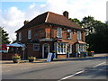
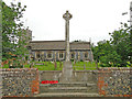
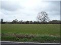
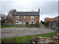
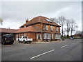
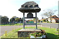
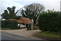
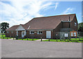
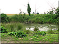
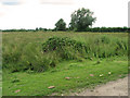
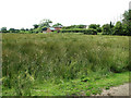
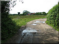
29 photos from this area
Area Information
Key information about the NR29 3AG including its size, population, and administrative classification.
- Area Type
- Postcode
- Area Size
- 12.3 hectares
- Population
- 1495
- Population Density
- 165 people/km²
House Prices in NR29 3AG
12
Properties
£166,800
Average Sold Price
£3,500
Lowest Price
£330,000
Highest Price
Showing 12 properties
| Address | Type | Beds | Baths | Last Sale Price | Last Sale Date | |
|---|---|---|---|---|---|---|
| 2, The Cottages, Main Road A 1064, Fleggburgh, NR29 3AG | Detached | 3 | 1 | £270,000 | Aug 2022 | |
| Beech Tree Cottage, Main Road A 1064, Fleggburgh, NR29 3AG | Detached | 3 | 2 | £3,500 | Jun 2021 | |
| The Hyde, Main Road A 1064, Fleggburgh, NR29 3AG | Bungalow | 4 | 3 | £330,000 | Jun 2019 | |
| Near Church, Main Road A 1064, Fleggburgh, NR29 3AG | house | - | - | £147,500 | Jul 2006 | |
| Durham House, Main Road A 1064, Fleggburgh, NR29 3AG | Bungalow | - | - | £83,000 | Dec 1999 | |
| Blacksmiths Cottage, Main Road A 1064, Fleggburgh, NR29 3AG | Retail | 4 | 2 | - | - | |
| 1, Horseshoe Cottage, The Cottages, Main Road A 1064, Fleggburgh, NR29 3AG | house | 2 | 1 | - | - | |
| The Carpenters Shop, Main Road A 1064, Fleggburgh, NR29 3AG | house | - | - | - | - | |
| Land Between Playing Field And Fleggburgh Primary School, Main Road A 1064, Fleggburgh, NR29 3AG | Farm | - | - | - | - | |
| Woodland Lodge, Main Road A 1064, Fleggburgh, NR29 3AG | house | - | - | - | - |
Page 1 of 2
Energy Efficiency in NR29 3AG
Amenities
Schools
| Rank | School | Type | Entry gender | Ages |
|---|
Explore more schools in this area
Go to Schools tabDemographics
Household Size
Two person
most common
Accommodation Type
Houses
most common
Tenure
86
majority
Ethnic Group
White
most common
Religion
N/A
most common
Household Composition
N/A
most common
Age
47
median
Adults (30-64 years)
most common
Household Deprivation
N/A
with no deprivation
NS-SEC
34
in Lower managerial occupations
Explore more demographic insights in this area
Go to Demographics tabPlanning
Planning Constraints
- Flood RiskPremium
- Ramsar Wetland SitesPremium
- Area of Outstanding Natural BeautyPremium
- Protected Nature ReservePremium
- Protected WoodlandPremium