Area Overview for NR27 9NA
Photos of NR27 9NA
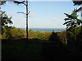
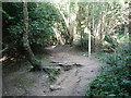
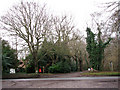
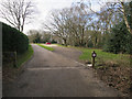
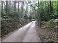
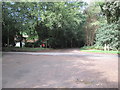
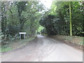
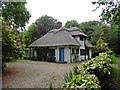
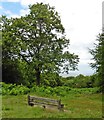
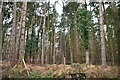
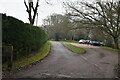
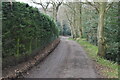
98 photos from this area
Area Information
Key information about the NR27 9NA including its size, population, and administrative classification.
- Area Type
- Postcode
- Area Size
- 6.3 hectares
- Population
- 2015
- Population Density
- 170 people/km²
House Prices in NR27 9NA
21
Properties
£368,153
Average Sold Price
£122,000
Lowest Price
£1,050,000
Highest Price
Showing 21 properties
| Address | Type | Beds | Baths | Last Sale Price | Last Sale Date | |
|---|---|---|---|---|---|---|
| Three Pines, Shawcross Road, West Runton, NR27 9NA | Bungalow | 3 | 1 | £400,000 | Jul 2023 | |
| Quiet Corner, Shawcross Road, West Runton, NR27 9NA | Retail | 2 | 2 | £386,000 | May 2022 | |
| Brackenhurst, Shawcross Road, West Runton, NR27 9NA | house | - | - | £1,050,000 | Mar 2021 | |
| Beechwood, Shawcross Road, West Runton, NR27 9NA | Detached | 4 | 2 | £682,500 | Aug 2020 | |
| Pinebank, Shawcross Road, West Runton, NR27 9NA | Bungalow | - | - | £370,000 | Mar 2019 | |
| Heathcote, Shawcross Road, West Runton, NR27 9NA | Bungalow | 4 | 2 | £410,000 | Jul 2016 | |
| Dew, Shawcross Road, West Runton, NR27 9NA | Detached | 4 | 4 | £500,000 | Oct 2015 | |
| The Little House, Shawcross Road, West Runton, NR27 9NA | Bungalow | 2 | - | £229,950 | Sep 2015 | |
| Silverdene, Shawcross Road, West Runton, NR27 9NA | Bungalow | - | - | £235,000 | Jul 2012 | |
| Woodlands, Shawcross Road, West Runton, NR27 9NA | Bungalow | - | - | £250,000 | Feb 2011 |
Page 1 of 3
Energy Efficiency in NR27 9NA
Amenities
Schools
| Rank | School | Type | Entry gender | Ages |
|---|
Explore more schools in this area
Go to Schools tabDemographics
Household Size
Two person
most common
Accommodation Type
Houses
most common
Tenure
80
majority
Ethnic Group
White
most common
Religion
N/A
most common
Household Composition
N/A
most common
Age
47
median
Adults (30-64 years)
most common
Household Deprivation
N/A
with no deprivation
NS-SEC
35
in Lower managerial occupations
Explore more demographic insights in this area
Go to Demographics tabPlanning
Planning Constraints
- Flood RiskPremium
- Ramsar Wetland SitesPremium
- Area of Outstanding Natural BeautyPremium
- Protected Nature ReservePremium
- Protected WoodlandPremium