Area Overview for NR25 6DF
Photos of NR25 6DF
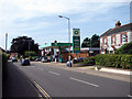
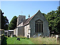
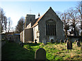
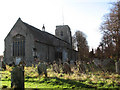
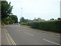
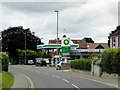
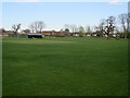
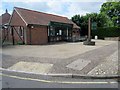
66 photos from this area
Area Information
Key information about the NR25 6DF including its size, population, and administrative classification.
- Area Type
- Postcode
- Area Size
- 1.2 hectares
- Population
- 2191
- Population Density
- 265 people/km²
House Prices in NR25 6DF
17
Properties
£256,417
Average Sold Price
£59,500
Lowest Price
£550,000
Highest Price
Showing 17 properties
| Address | Type | Beds | Baths | Last Sale Price | Last Sale Date | |
|---|---|---|---|---|---|---|
| 32 Hempstead Road, Holt, NR25 6DF | Detached | 3 | 1 | £420,000 | Jan 2025 | |
| 20 Hempstead Road, Holt, NR25 6DF | house | - | - | £225,000 | Apr 2021 | |
| 22 Hempstead Road, Holt, NR25 6DF | Semi-detached | 3 | 1 | £175,000 | Apr 2019 | |
| Beech House, 34 Hempstead Road, Holt, NR25 6DF | Detached | 3 | 3 | £550,000 | Feb 2018 | |
| 30 Hempstead Road, Holt, NR25 6DF | Detached | 3 | - | £271,000 | May 2017 | |
| 42 Hempstead Road, Holt, NR25 6DF | Bungalow | 4 | - | £383,000 | Mar 2016 | |
| 44 Hempstead Road, Holt, NR25 6DF | Bungalow | - | - | £221,500 | Dec 2014 | |
| 3, The Driftway, Hempstead Road, Holt, NR25 6DF | Bungalow | - | - | £285,000 | Sep 2011 | |
| 24 Hempstead Road, Holt, NR25 6DF | Semi-detached | 4 | 2 | £208,000 | Nov 2006 | |
| 2, The Driftway, Hempstead Road, Holt, NR25 6DF | Bungalow | 3 | - | £159,000 | Aug 2001 |
Page 1 of 2
Energy Efficiency in NR25 6DF
Amenities
Schools
| Rank | School | Type | Entry gender | Ages |
|---|
Explore more schools in this area
Go to Schools tabDemographics
Household Size
One person
most common
Accommodation Type
Houses
most common
Tenure
55
majority
Ethnic Group
White
most common
Religion
N/A
most common
Household Composition
N/A
most common
Age
47
median
Adults (30-64 years)
most common
Household Deprivation
N/A
with no deprivation
NS-SEC
26
in Lower managerial occupations
Explore more demographic insights in this area
Go to Demographics tabPlanning
Planning Constraints
- Flood RiskPremium
- Ramsar Wetland SitesPremium
- Area of Outstanding Natural BeautyPremium
- Protected Nature ReservePremium
- Protected WoodlandPremium