Area Overview for NR20 5PS
Photos of NR20 5PS
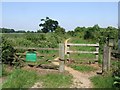
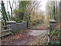
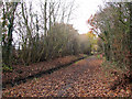
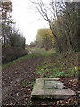
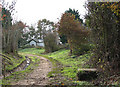
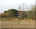
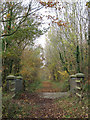
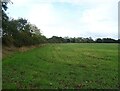
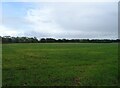
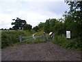
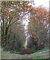
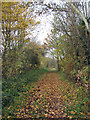
29 photos from this area
Area Information
Key information about the NR20 5PS including its size, population, and administrative classification.
- Area Type
- Postcode
- Area Size
- 3.1 km²
- Population
- 1448
- Population Density
- 44 people/km²
House Prices in NR20 5PS
14
Properties
£484,125
Average Sold Price
£178,000
Lowest Price
£815,000
Highest Price
Showing 14 properties
| Address | Type | Beds | Baths | Last Sale Price | Last Sale Date | |
|---|---|---|---|---|---|---|
| Church Farm House, The Street, Themelthorpe, NR20 5PS | house | - | - | £795,000 | Jul 2024 | |
| 5 Kerdiston Road, Themelthorpe, NR20 5PS | house | - | - | £295,000 | Oct 2022 | |
| Great Mullards Farm, The Street, Themelthorpe, NR20 5PS | Semi-detached | 4 | 3 | £415,000 | May 2020 | |
| Church Cottage, Kerdiston Road, Themelthorpe, NR20 5PS | Detached | 4 | 2 | £510,000 | Apr 2020 | |
| The Old Hall, The Street, Themelthorpe, NR20 5PS | Detached | 6 | 4 | £815,000 | Aug 2017 | |
| Barn Cottage, Kerdiston Road, Themelthorpe, NR20 5PS | Semi-detached | 4 | 2 | £415,000 | Jun 2015 | |
| The Homestead, The Street, Themelthorpe, NR20 5PS | Cottage | 4 | - | £450,000 | May 2013 | |
| Two Hoots Barn, The Street, Themelthorpe, NR20 5PS | Detached | - | - | £178,000 | Jun 2003 | |
| Herefords Rest, The Street, Themelthorpe, NR20 5PS | Semi-detached | 5 | 3 | - | - | |
| Macallens Farm, The Street, Themelthorpe, NR20 5PS | Farm | 4 | 2 | - | - |
Page 1 of 2
Energy Efficiency in NR20 5PS
Amenities
Schools
| Rank | School | Type | Entry gender | Ages |
|---|
Explore more schools in this area
Go to Schools tabDemographics
Household Size
Two person
most common
Accommodation Type
Houses
most common
Tenure
69
majority
Ethnic Group
White
most common
Religion
N/A
most common
Household Composition
N/A
most common
Age
47
median
Adults (30-64 years)
most common
Household Deprivation
N/A
with no deprivation
NS-SEC
31
in Lower managerial occupations
Explore more demographic insights in this area
Go to Demographics tabPlanning
Planning Constraints
- Flood RiskPremium
- Ramsar Wetland SitesPremium
- Area of Outstanding Natural BeautyPremium
- Protected Nature ReservePremium
- Protected WoodlandPremium