Area Overview for NR20 5PP
Photos of NR20 5PP
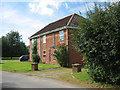
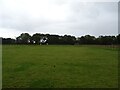
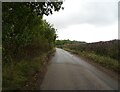
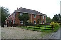
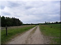
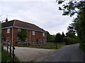
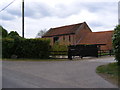
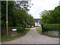
26 photos from this area
Area Information
Key information about the NR20 5PP including its size, population, and administrative classification.
- Area Type
- Postcode
- Area Size
- 1.1 km²
- Population
- 1448
- Population Density
- 44 people/km²
House Prices in NR20 5PP
21
Properties
£572,738
Average Sold Price
£359,950
Lowest Price
£950,000
Highest Price
Showing 21 properties
| Address | Type | Beds | Baths | Last Sale Price | Last Sale Date | |
|---|---|---|---|---|---|---|
| Bracken Barn, Reepham Road, Foulsham, NR20 5PP | Semi-detached | 3 | 2 | £486,000 | Nov 2021 | |
| Beech House, Reepham Road, Foulsham, NR20 5PP | Detached | 6 | 3 | £950,000 | Nov 2021 | |
| Long Ground Cottage, Reepham Road, Foulsham, NR20 5PP | Detached | 5 | 3 | £495,000 | Jul 2017 | |
| Pillar Box Cottage, Reepham Road, Foulsham, NR20 5PP | Detached | 4 | - | £359,950 | Oct 2016 | |
| Little Barn, Manor Farm Barns, Reepham Road, Foulsham, NR20 5PP | Semi-detached | 3 | 2 | - | - | |
| Foulsham Barn, Manor Farm Barns, Reepham Road, Foulsham, NR20 5PP | Semi-detached | 5 | 2 | - | - | |
| Manor House Farm, Reepham Road, Foulsham, NR20 5PP | Detached | 5 | 2 | - | - | |
| The Old Woodyard, Reepham Road, Foulsham, NR20 5PP | Bungalow | - | - | - | - | |
| Oaklands, Reepham Road, Foulsham, NR20 5PP | Detached | - | - | - | - | |
| Old Common Wood, Reepham Road, Foulsham, NR20 5PP | Detached | - | - | - | - |
Page 1 of 3
Energy Efficiency in NR20 5PP
Amenities
Schools
| Rank | School | Type | Entry gender | Ages |
|---|
Explore more schools in this area
Go to Schools tabDemographics
Household Size
Two person
most common
Accommodation Type
Houses
most common
Tenure
69
majority
Ethnic Group
White
most common
Religion
N/A
most common
Household Composition
N/A
most common
Age
47
median
Adults (30-64 years)
most common
Household Deprivation
N/A
with no deprivation
NS-SEC
31
in Lower managerial occupations
Explore more demographic insights in this area
Go to Demographics tabPlanning
Planning Constraints
- Flood RiskPremium
- Ramsar Wetland SitesPremium
- Area of Outstanding Natural BeautyPremium
- Protected Nature ReservePremium
- Protected WoodlandPremium