Area Overview for NR20 4QE
Photos of NR20 4QE
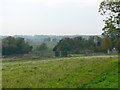
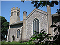
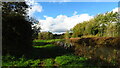
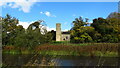
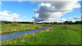
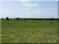
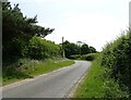
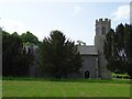
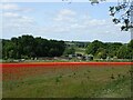
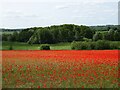
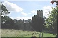
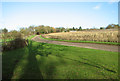
72 photos from this area
Area Information
Key information about the NR20 4QE including its size, population, and administrative classification.
- Area Type
- Postcode
- Area Size
- 2.0 km²
- Population
- 1608
- Population Density
- 103 people/km²
House Prices in NR20 4QE
17
Properties
£501,533
Average Sold Price
£249,600
Lowest Price
£975,000
Highest Price
Showing 17 properties
| Address | Type | Beds | Baths | Last Sale Price | Last Sale Date | |
|---|---|---|---|---|---|---|
| West Cottage, Bylaugh Road, Bylaugh, NR20 4QE | Semi-detached | 4 | 2 | £280,000 | Apr 2021 | |
| Limelee Heights, Bylaugh Road, Bylaugh, NR20 4QE | Detached | 5 | 4 | £975,000 | Oct 2015 | |
| Park Farm, Bylaugh Road, Bylaugh, NR20 4QE | Land | - | - | £249,600 | Aug 2010 | |
| Ash Tree Barn, Park Farm Barns, Bylaugh Road, Bylaugh, NR20 4QE | Semi-detached | 6 | 5 | - | - | |
| East Cottage, Bylaugh Road, Bylaugh, NR20 4QE | Semi-detached | - | - | - | - | |
| The Caravan Limelee Heights, Access Roads In And Around Bylaugh Park, Bylaugh, NR20 4QE | Mobile Home | - | - | - | - | |
| Limelee Heights Caravan 2, Access Roads In And Around Bylaugh Park, Bylaugh, NR20 4QE | Mobile Home | - | - | - | - | |
| Limelee Heights Caravan 3, Access Roads In And Around Bylaugh Park, Bylaugh, NR20 4QE | Mobile Home | - | - | - | - | |
| The Old Hall, Bylaugh Road, Bylaugh, NR20 4QE | Detached | - | - | - | - | |
| Mobile Home, Limelee House, Bylaugh Road, Bylaugh, NR20 4QE | Mobile Home | - | - | - | - |
Page 1 of 2
Energy Efficiency in NR20 4QE
Amenities
Schools
| Rank | School | Type | Entry gender | Ages |
|---|
Explore more schools in this area
Go to Schools tabDemographics
Household Size
Two person
most common
Accommodation Type
Houses
most common
Tenure
82
majority
Ethnic Group
White
most common
Religion
N/A
most common
Household Composition
N/A
most common
Age
47
median
Adults (30-64 years)
most common
Household Deprivation
N/A
with no deprivation
NS-SEC
33
in Lower managerial occupations
Explore more demographic insights in this area
Go to Demographics tabPlanning
Planning Constraints
- Flood RiskPremium
- Ramsar Wetland SitesPremium
- Area of Outstanding Natural BeautyPremium
- Protected Nature ReservePremium
- Protected WoodlandPremium