Area Overview for NR20 4EZ
Photos of NR20 4EZ
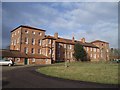
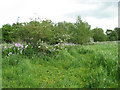
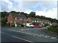
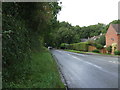
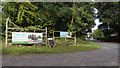
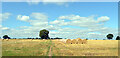
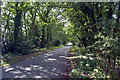
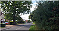
44 photos from this area
Area Information
Key information about the NR20 4EZ including its size, population, and administrative classification.
- Area Type
- Postcode
- Area Size
- 1.0 hectares
- Population
- 2423
- Population Density
- 88 people/km²
House Prices in NR20 4EZ
22
Properties
£144,417
Average Sold Price
£51,500
Lowest Price
£270,000
Highest Price
Showing 22 properties
| Address | Type | Beds | Baths | Last Sale Price | Last Sale Date | |
|---|---|---|---|---|---|---|
| 33 Beech Road, Beetley, NR20 4EZ | Detached | 3 | 1 | £270,000 | Mar 2022 | |
| 19 Beech Road, Beetley, NR20 4EZ | Bungalow | 2 | 1 | £225,000 | Oct 2020 | |
| 27 Beech Road, Beetley, NR20 4EZ | Bungalow | 2 | 1 | £215,000 | Jan 2020 | |
| 37 Beech Road, Beetley, NR20 4EZ | Bungalow | - | - | £155,000 | Aug 2018 | |
| 23 Beech Road, Beetley, NR20 4EZ | Bungalow | 3 | - | £244,000 | Jul 2017 | |
| 41 Beech Road, Beetley, NR20 4EZ | Bungalow | 3 | 2 | £220,000 | Mar 2017 | |
| 35 Beech Road, Beetley, NR20 4EZ | Detached | 3 | 1 | £195,000 | Mar 2016 | |
| 25 Beech Road, Beetley, NR20 4EZ | Bungalow | 2 | - | £161,000 | Jun 2015 | |
| 13 Beech Road, Beetley, NR20 4EZ | Semi-detached | 4 | - | £160,000 | Aug 2014 | |
| 39 Beech Road, Beetley, NR20 4EZ | Bungalow | - | - | £140,000 | May 2013 |
Page 1 of 3
Energy Efficiency in NR20 4EZ
Amenities
Schools
| Rank | School | Type | Entry gender | Ages |
|---|
Explore more schools in this area
Go to Schools tabDemographics
Household Size
Two person
most common
Accommodation Type
Houses
most common
Tenure
83
majority
Ethnic Group
White
most common
Religion
N/A
most common
Household Composition
N/A
most common
Age
47
median
Adults (30-64 years)
most common
Household Deprivation
N/A
with no deprivation
NS-SEC
34
in Lower managerial occupations
Explore more demographic insights in this area
Go to Demographics tabPlanning
Planning Constraints
- Flood RiskPremium
- Ramsar Wetland SitesPremium
- Area of Outstanding Natural BeautyPremium
- Protected Nature ReservePremium
- Protected WoodlandPremium