Area Overview for NR19 2NE
Photos of NR19 2NE
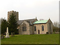
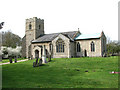
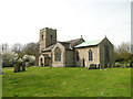
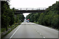
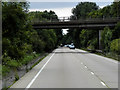
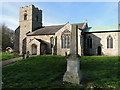
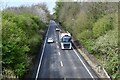
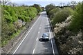

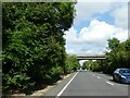
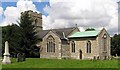
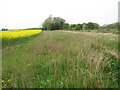
20 photos from this area
Area Information
Key information about the NR19 2NE including its size, population, and administrative classification.
- Area Type
- Postcode
- Area Size
- 47.3 hectares
- Population
- 1552
- Population Density
- 44 people/km²
House Prices in NR19 2NE
26
Properties
£227,904
Average Sold Price
£37,000
Lowest Price
£500,000
Highest Price
Showing 26 properties
| Address | Type | Beds | Baths | Last Sale Price | Last Sale Date | |
|---|---|---|---|---|---|---|
| 4 Station Road, Wendling, NR19 2NE | Bungalow | - | - | £288,500 | Sep 2023 | |
| Rivendell, Station Road, Wendling, NR19 2NE | Bungalow | 3 | 1 | £277,700 | Mar 2022 | |
| Horndon, Station Road, Wendling, NR19 2NE | Retail | 3 | 1 | £268,500 | Feb 2022 | |
| Redwings, Station Road, Wendling, NR19 2NE | house | - | - | £350,000 | Dec 2020 | |
| 2 Station Road, Wendling, NR19 2NE | Semi-detached | 3 | 1 | £290,000 | Jun 2016 | |
| The Cote, Station Road, Wendling, NR19 2NE | Bungalow | 2 | 1 | £145,000 | Aug 2013 | |
| The Cottage, Station Road, Wendling, NR19 2NE | house | - | - | £149,000 | Dec 2011 | |
| Braemar, Station Road, Wendling, NR19 2NE | Bungalow | - | - | £160,000 | Aug 2008 | |
| Holly House, Station Road, Wendling, NR19 2NE | Detached | - | - | £500,000 | Jul 2007 | |
| Chartwell House, Station Road, Wendling, NR19 2NE | Detached | - | - | £290,000 | Mar 2007 |
Page 1 of 3
Energy Efficiency in NR19 2NE
Amenities
Schools
| Rank | School | Type | Entry gender | Ages |
|---|
Explore more schools in this area
Go to Schools tabDemographics
Household Size
Two person
most common
Accommodation Type
Houses
most common
Tenure
71
majority
Ethnic Group
White
most common
Religion
N/A
most common
Household Composition
N/A
most common
Age
47
median
Adults (30-64 years)
most common
Household Deprivation
N/A
with no deprivation
NS-SEC
30
in Lower managerial occupations
Explore more demographic insights in this area
Go to Demographics tabPlanning
Planning Constraints
- Flood RiskPremium
- Ramsar Wetland SitesPremium
- Area of Outstanding Natural BeautyPremium
- Protected Nature ReservePremium
- Protected WoodlandPremium