Area Overview for NR13 6RX
Photos of NR13 6RX
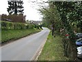
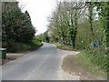
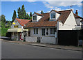
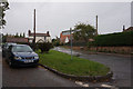
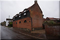
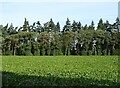
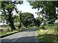
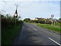
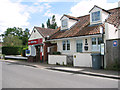
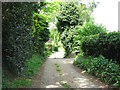
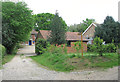
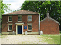
19 photos from this area
Area Information
Key information about the NR13 6RX including its size, population, and administrative classification.
- Area Type
- Postcode
- Area Size
- 21.7 hectares
- Population
- 1577
- Population Density
- 177 people/km²
House Prices in NR13 6RX
19
Properties
£485,000
Average Sold Price
£485,000
Lowest Price
£485,000
Highest Price
Showing 19 properties
| Address | Type | Beds | Baths | Last Sale Price | Last Sale Date | |
|---|---|---|---|---|---|---|
| Appletree Cottage, 120 Lower Street, Salhouse, NR13 6RX | house | 4 | 2 | £485,000 | Oct 2022 | |
| Sandling, 140 Lower Street, Salhouse, NR13 6RX | Bungalow | 3 | 1 | - | - | |
| Holly Cottage, 122 Lower Street, Salhouse, NR13 6RX | Semi-detached | 3 | 2 | - | - | |
| Brambles, 138 Lower Street, Salhouse, NR13 6RX | Detached | 4 | 2 | - | - | |
| Greenbraec, 132 Lower Street, Salhouse, NR13 6RX | Detached | 4 | - | - | - | |
| Four Winds, 144 Lower Street, Salhouse, NR13 6RX | Detached | 5 | 3 | - | - | |
| The Anchorage, 128 Lower Street, Salhouse, NR13 6RX | Detached | 3 | - | - | - | |
| Salwood, 136 Lower Street, Salhouse, NR13 6RX | Detached | - | - | - | - | |
| Honeywood, 118 Lower Street, Salhouse, NR13 6RX | house | - | - | - | - | |
| Broads End, 142 Lower Street, Salhouse, NR13 6RX | Detached | - | - | - | - |
Page 1 of 2
Energy Efficiency in NR13 6RX
Amenities
Schools
| Rank | School | Type | Entry gender | Ages |
|---|
Explore more schools in this area
Go to Schools tabDemographics
Household Size
Two person
most common
Accommodation Type
Houses
most common
Tenure
84
majority
Ethnic Group
White
most common
Religion
N/A
most common
Household Composition
N/A
most common
Age
47
median
Adults (30-64 years)
most common
Household Deprivation
N/A
with no deprivation
NS-SEC
36
in Lower managerial occupations
Explore more demographic insights in this area
Go to Demographics tabPlanning
Planning Constraints
- Flood RiskPremium
- Ramsar Wetland SitesPremium
- Area of Outstanding Natural BeautyPremium
- Protected Nature ReservePremium
- Protected WoodlandPremium