Area Overview for NR13 5BZ
Photos of NR13 5BZ
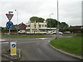
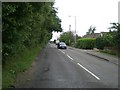
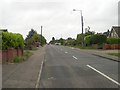
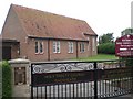
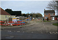
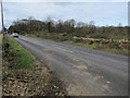
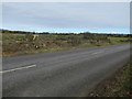
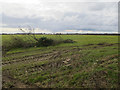

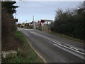
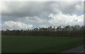
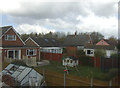
40 photos from this area
Area Information
Key information about the NR13 5BZ including its size, population, and administrative classification.
- Area Type
- Postcode
- Area Size
- 15.6 hectares
- Population
- 1441
- Population Density
- 270 people/km²
House Prices in NR13 5BZ
12
Properties
£300,938
Average Sold Price
£93,750
Lowest Price
£730,000
Highest Price
Showing 12 properties
| Address | Type | Beds | Baths | Last Sale Price | Last Sale Date | |
|---|---|---|---|---|---|---|
| Leighton House, Broad Lane, Little Plumstead, NR13 5BZ | house | - | - | £730,000 | Jun 2021 | |
| Dakota, Broad Lane, Little Plumstead, NR13 5BZ | house | - | - | £175,000 | Mar 2017 | |
| Bundu House, Broad Lane, Little Plumstead, NR13 5BZ | Detached | - | - | £93,750 | Feb 1997 | |
| Isca, Broad Lane, Little Plumstead, NR13 5BZ | house | - | - | £205,000 | Feb 1995 | |
| Gatehouse, 2 Broad Lane, Little Plumstead, NR13 5BZ | Detached | 4 | 1 | - | - | |
| Annexe, Gatehouse, 2 Broad Lane, Little Plumstead, NR13 5BZ | Flat | - | - | - | - | |
| Hannah House, Broad Lane, Little Plumstead, NR13 5BZ | Detached | - | - | - | - | |
| Cambria, Broad Lane, Little Plumstead, NR13 5BZ | house | - | - | - | - | |
| The Platform, Broad Lane, Little Plumstead, NR13 5BZ | Detached | - | - | - | - | |
| Equestian Paddock, Broad Lane, Little Plumstead, NR13 5BZ | Leisure | - | - | - | - |
Page 1 of 2
Energy Efficiency in NR13 5BZ
Amenities
Schools
| Rank | School | Type | Entry gender | Ages |
|---|
Explore more schools in this area
Go to Schools tabDemographics
Household Size
Two person
most common
Accommodation Type
Houses
most common
Tenure
90
majority
Ethnic Group
White
most common
Religion
N/A
most common
Household Composition
N/A
most common
Age
47
median
Adults (30-64 years)
most common
Household Deprivation
N/A
with no deprivation
NS-SEC
53
in Lower managerial occupations
Explore more demographic insights in this area
Go to Demographics tabPlanning
Planning Constraints
- Flood RiskPremium
- Ramsar Wetland SitesPremium
- Area of Outstanding Natural BeautyPremium
- Protected Nature ReservePremium
- Protected WoodlandPremium