Area Overview for NR13 3QJ
Photos of NR13 3QJ
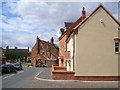
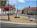
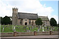
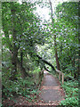
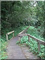
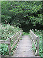
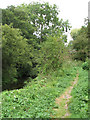
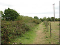
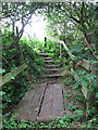

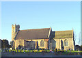
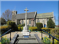
100 photos from this area
Area Information
Key information about the NR13 3QJ including its size, population, and administrative classification.
- Area Type
- Postcode
- Area Size
- 6550 m²
- Population
- 1326
- Population Density
- 199 people/km²
House Prices in NR13 3QJ
14
Properties
£201,600
Average Sold Price
£60,000
Lowest Price
£313,000
Highest Price
Showing 14 properties
| Address | Type | Beds | Baths | Last Sale Price | Last Sale Date | |
|---|---|---|---|---|---|---|
| Old White House, The Street, Acle, NR13 3QJ | retail_financial | 5 | 3 | £310,000 | Jun 2023 | |
| Fern House, The Street, Acle, NR13 3QJ | house | - | - | £313,000 | Nov 2010 | |
| Pin Tiles, The Street, Acle, NR13 3QJ | Detached | - | - | £170,000 | Apr 2009 | |
| Clippers Cottage, The Street, Acle, NR13 3QJ | Detached | 3 | 1 | £60,000 | Sep 2002 | |
| Coburg House, The Street, Acle, NR13 3QJ | Semi-detached | 4 | - | £155,000 | Mar 2002 | |
| Manor House, The Street, Acle, NR13 3QJ | Semi-detached | 5 | 5 | - | - | |
| Flat, Acle Hair And Beauty, The Street, Acle, NR13 3QJ | Flat | - | - | - | - | |
| Anglia House, The Street, Acle, NR13 3QJ | Flat | - | - | - | - | |
| Flat, The Co-operative Pharmacy, The Street, Acle, NR13 3QJ | Flat | - | - | - | - | |
| Mookaroo Limited, Mookaroo, Old White House, The Street, Acle, NR13 3QJ | shop | - | - | - | - |
Page 1 of 2
Energy Efficiency in NR13 3QJ
Amenities
Schools
| Rank | School | Type | Entry gender | Ages |
|---|
Explore more schools in this area
Go to Schools tabDemographics
Household Size
Two person
most common
Accommodation Type
Houses
most common
Tenure
68
majority
Ethnic Group
White
most common
Religion
N/A
most common
Household Composition
N/A
most common
Age
47
median
Adults (30-64 years)
most common
Household Deprivation
N/A
with no deprivation
NS-SEC
30
in Lower managerial occupations
Explore more demographic insights in this area
Go to Demographics tabPlanning
Planning Constraints
- Flood RiskPremium
- Ramsar Wetland SitesPremium
- Area of Outstanding Natural BeautyPremium
- Protected Nature ReservePremium
- Protected WoodlandPremium