Area Overview for NR12 8YT
Photos of NR12 8YT
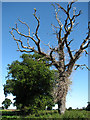
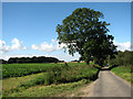
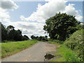
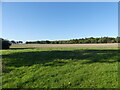
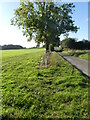
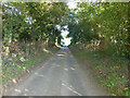
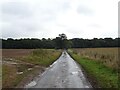
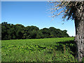
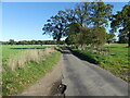
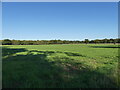
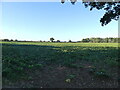
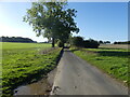
18 photos from this area
Area Information
Key information about the NR12 8YT including its size, population, and administrative classification.
- Area Type
- Postcode
- Area Size
- 1.7 km²
- Population
- 2061
- Population Density
- 71 people/km²
House Prices in NR12 8YT
16
Properties
£251,908
Average Sold Price
£107,500
Lowest Price
£475,000
Highest Price
Showing 16 properties
| Address | Type | Beds | Baths | Last Sale Price | Last Sale Date | |
|---|---|---|---|---|---|---|
| Gunns Cottage, Smallburgh Road, Barton Turf, NR12 8YT | Terraced | 3 | 1 | £424,075 | Dec 2022 | |
| Fairway, Smallburgh Road, Barton Turf, NR12 8YT | Detached | - | - | £130,000 | May 2018 | |
| Old Mill Cottage, Smallburgh Road, Barton Turf, NR12 8YT | Bungalow | - | - | £162,000 | Nov 2015 | |
| Willow Wren, Smallburgh Road, Barton Turf, NR12 8YT | Detached | 4 | - | £475,000 | Sep 2015 | |
| Holly Cottage, Smallburgh Road, Barton Turf, NR12 8YT | house | - | - | £250,000 | Apr 2014 | |
| Sheralon, Smallburgh Road, Barton Turf, NR12 8YT | Detached | 4 | 2 | £165,000 | Oct 2007 | |
| Field View, Smallburgh Road, Barton Turf, NR12 8YT | Detached | 6 | 3 | £295,000 | Oct 2007 | |
| Abigail Cottage, Smallburgh Road, Barton Turf, NR12 8YT | Terraced | 2 | 1 | £140,500 | Mar 2007 | |
| Aurora, Smallburgh Road, Barton Turf, NR12 8YT | Detached | - | - | £370,000 | Sep 2005 | |
| Old Mill Bungalow, Smallburgh Road, Barton Turf, NR12 8YT | Terraced | - | - | £107,500 | Aug 2001 |
Page 1 of 2
Energy Efficiency in NR12 8YT
Amenities
Schools
| Rank | School | Type | Entry gender | Ages |
|---|
Explore more schools in this area
Go to Schools tabDemographics
Household Size
Two person
most common
Accommodation Type
Houses
most common
Tenure
78
majority
Ethnic Group
White
most common
Religion
N/A
most common
Household Composition
N/A
most common
Age
47
median
Adults (30-64 years)
most common
Household Deprivation
N/A
with no deprivation
NS-SEC
40
in Lower managerial occupations
Explore more demographic insights in this area
Go to Demographics tabPlanning
Planning Constraints
- Flood RiskPremium
- Ramsar Wetland SitesPremium
- Area of Outstanding Natural BeautyPremium
- Protected Nature ReservePremium
- Protected WoodlandPremium