Area Overview for NR12 8AR
Photos of NR12 8AR
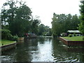
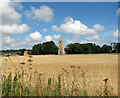
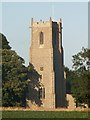
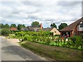
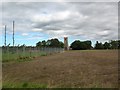
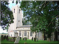
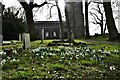
52 photos from this area
Area Information
Key information about the NR12 8AR including its size, population, and administrative classification.
- Area Type
- Postcode
- Area Size
- 62.1 hectares
- Population
- 2061
- Population Density
- 71 people/km²
House Prices in NR12 8AR
31
Properties
£620,098
Average Sold Price
£103,000
Lowest Price
£1,475,000
Highest Price
Showing 31 properties
| Address | Type | Beds | Baths | Last Sale Price | Last Sale Date | |
|---|---|---|---|---|---|---|
| Sedgewood, Hall Road, Barton Turf, NR12 8AR | Bungalow | 3 | 1 | £1,033,854 | Sep 2023 | |
| Lavender Cottage, Hall Road, Barton Turf, NR12 8AR | Bungalow | 3 | 2 | £400,000 | Aug 2023 | |
| Limekiln Cottage, Hall Road, Barton Turf, NR12 8AR | Cottage | 4 | - | £850,000 | Sep 2022 | |
| Riversdale House, Hall Road, Barton Turf, NR12 8AR | house | 5 | - | £1,475,000 | Jul 2022 | |
| Marsh House, Hall Road, Barton Turf, NR12 8AR | Detached | - | - | £1,200,000 | Jan 2021 | |
| Reedbanks, Hall Road, Barton Turf, NR12 8AR | house | - | - | £640,000 | Feb 2020 | |
| Herongate, Hall Road, Barton Turf, NR12 8AR | house | - | - | £945,000 | Feb 2019 | |
| Riversend, Hall Road, Barton Turf, NR12 8AR | Detached | 4 | 3 | £650,000 | Jun 2016 | |
| Staithe Lodge, Hall Road, Barton Turf, NR12 8AR | Bungalow | 4 | - | £620,000 | Jul 2014 | |
| Driftway Lodge, Hall Road, Barton Turf, NR12 8AR | Bungalow | 4 | 2 | £350,000 | May 2014 |
Page 1 of 4
Energy Efficiency in NR12 8AR
Amenities
Schools
| Rank | School | Type | Entry gender | Ages |
|---|
Explore more schools in this area
Go to Schools tabDemographics
Household Size
Two person
most common
Accommodation Type
Houses
most common
Tenure
78
majority
Ethnic Group
White
most common
Religion
N/A
most common
Household Composition
N/A
most common
Age
47
median
Adults (30-64 years)
most common
Household Deprivation
N/A
with no deprivation
NS-SEC
40
in Lower managerial occupations
Explore more demographic insights in this area
Go to Demographics tabPlanning
Planning Constraints
- Flood RiskPremium
- Ramsar Wetland SitesPremium
- Area of Outstanding Natural BeautyPremium
- Protected Nature ReservePremium
- Protected WoodlandPremium