Area Overview for NR12 8XJ
Photos of NR12 8XJ
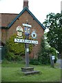
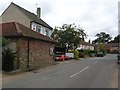
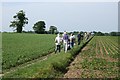
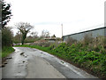
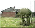
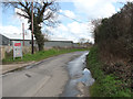
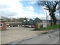
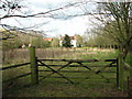
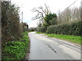
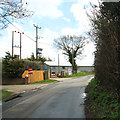
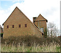
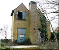
35 photos from this area
Area Information
Key information about the NR12 8XJ including its size, population, and administrative classification.
- Area Type
- Postcode
- Area Size
- 9.5 hectares
- Population
- 2061
- Population Density
- 71 people/km²
House Prices in NR12 8XJ
15
Properties
£232,265
Average Sold Price
£65,500
Lowest Price
£490,000
Highest Price
Showing 15 properties
| Address | Type | Beds | Baths | Last Sale Price | Last Sale Date | |
|---|---|---|---|---|---|---|
| 3 Stanley Avenue, Neatishead, NR12 8XJ | Bungalow | 3 | 2 | £332,500 | Oct 2024 | |
| 11 Stanley Avenue, Neatishead, NR12 8XJ | house | 4 | 3 | £490,000 | Aug 2022 | |
| The Retreat, Stanley Avenue, Neatishead, NR12 8XJ | Bungalow | 2 | 1 | £250,000 | Sep 2021 | |
| 10 Stanley Avenue, Neatishead, NR12 8XJ | Detached | 4 | 2 | £345,000 | Sep 2018 | |
| Broadlands, 6 Stanley Avenue, Neatishead, NR12 8XJ | Detached | 4 | 1 | £320,000 | Oct 2017 | |
| 14 Stanley Avenue, Neatishead, NR12 8XJ | Bungalow | 3 | 1 | £230,000 | Jul 2016 | |
| 9 Stanley Avenue, Neatishead, NR12 8XJ | Bungalow | 3 | - | £247,000 | Jan 2016 | |
| 13 Stanley Avenue, Neatishead, NR12 8XJ | house | 3 | - | £227,000 | May 2011 | |
| 7 Stanley Avenue, Neatishead, NR12 8XJ | Bungalow | - | - | £169,000 | Oct 2009 | |
| Richwood, Stanley Avenue, Neatishead, NR12 8XJ | house | - | - | £145,000 | May 2002 |
Page 1 of 2
Energy Efficiency in NR12 8XJ
Amenities
Schools
| Rank | School | Type | Entry gender | Ages |
|---|
Explore more schools in this area
Go to Schools tabDemographics
Household Size
Two person
most common
Accommodation Type
Houses
most common
Tenure
78
majority
Ethnic Group
White
most common
Religion
N/A
most common
Household Composition
N/A
most common
Age
47
median
Adults (30-64 years)
most common
Household Deprivation
N/A
with no deprivation
NS-SEC
40
in Lower managerial occupations
Explore more demographic insights in this area
Go to Demographics tabPlanning
Planning Constraints
- Flood RiskPremium
- Ramsar Wetland SitesPremium
- Area of Outstanding Natural BeautyPremium
- Protected Nature ReservePremium
- Protected WoodlandPremium