Area Overview for NR12 8LB
Photos of NR12 8LB


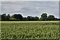
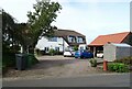
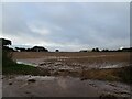
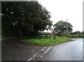
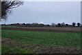

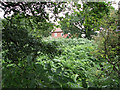
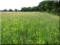
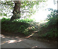
31 photos from this area
Area Information
Key information about the NR12 8LB including its size, population, and administrative classification.
- Area Type
- Postcode
- Area Size
- 28.1 hectares
- Population
- 2061
- Population Density
- 71 people/km²
House Prices in NR12 8LB
16
Properties
£270,333
Average Sold Price
£160,000
Lowest Price
£550,000
Highest Price
Showing 16 properties
| Address | Type | Beds | Baths | Last Sale Price | Last Sale Date | |
|---|---|---|---|---|---|---|
| Barn Cottage, Neatishead Road, Horning, NR12 8LB | Retail | 3 | 1 | £325,000 | Aug 2022 | |
| Ropes Hill Barn, Neatishead Road, Horning, NR12 8LB | house | 7 | 2 | £550,000 | Jun 2021 | |
| Kingswood, Neatishead Road, Horning, NR12 8LB | Bungalow | 2 | 1 | £265,000 | Oct 2018 | |
| Meadow Cottage, 3 Neatishead Road, Horning, NR12 8LB | house | 3 | 1 | £315,000 | Jan 2017 | |
| Oak Lodge, Neatishead Road, Horning, NR12 8LB | Semi-detached | - | - | £195,000 | Oct 2014 | |
| Goldfinches, 4 Neatishead Road, Horning, NR12 8LB | house | - | - | £225,000 | Aug 2006 | |
| Edgefield, Neatishead Road, Horning, NR12 8LB | Detached | - | - | £228,000 | Aug 2004 | |
| Windward, Neatishead Road, Horning, NR12 8LB | Detached | - | - | £160,000 | Dec 2002 | |
| The Oaks, Neatishead Road, Horning, NR12 8LB | Detached | - | - | £170,000 | May 2002 | |
| Ropes Hill Farm Bungalow, Neatishead Road, Horning, NR12 8LB | Bungalow | 3 | 1 | - | - |
Page 1 of 2
Energy Efficiency in NR12 8LB
Amenities
Schools
| Rank | School | Type | Entry gender | Ages |
|---|
Explore more schools in this area
Go to Schools tabDemographics
Household Size
Two person
most common
Accommodation Type
Houses
most common
Tenure
78
majority
Ethnic Group
White
most common
Religion
N/A
most common
Household Composition
N/A
most common
Age
47
median
Adults (30-64 years)
most common
Household Deprivation
N/A
with no deprivation
NS-SEC
40
in Lower managerial occupations
Explore more demographic insights in this area
Go to Demographics tabPlanning
Planning Constraints
- Flood RiskPremium
- Ramsar Wetland SitesPremium
- Area of Outstanding Natural BeautyPremium
- Protected Nature ReservePremium
- Protected WoodlandPremium