Area Overview for NR12 7DJ
Photos of NR12 7DJ
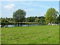
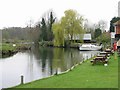
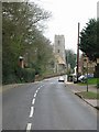
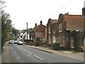
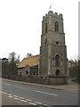
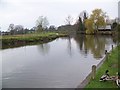
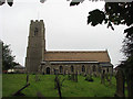
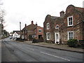
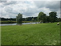
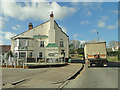
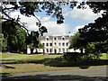
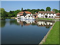
100 photos from this area
Area Information
Key information about the NR12 7DJ including its size, population, and administrative classification.
- Area Type
- Postcode
- Area Size
- 1.7 hectares
- Population
- 1206
- Population Density
- 186 people/km²
House Prices in NR12 7DJ
19
Properties
£216,905
Average Sold Price
£15,000
Lowest Price
£600,000
Highest Price
Showing 19 properties
| Address | Type | Beds | Baths | Last Sale Price | Last Sale Date | |
|---|---|---|---|---|---|---|
| Eastlea, 3 Church Street, Coltishall, NR12 7DJ | Semi-detached | 2 | 1 | £210,000 | Nov 2024 | |
| Haven Cottage, 21 Church Street, Coltishall, NR12 7DJ | Terraced | 2 | 1 | £263,500 | May 2024 | |
| Woodlands, 27 Church Street, Coltishall, NR12 7DJ | house | 2 | 1 | £210,000 | Dec 2019 | |
| Manor Lodge, 4 Church Street, Coltishall, NR12 7DJ | Detached | - | - | £15,000 | Dec 2017 | |
| Whats On, 31 Church Street, Coltishall, NR12 7DJ | house | - | - | £142,000 | Mar 2016 | |
| Lloret, 29 Church Street, Coltishall, NR12 7DJ | Semi-detached | 1 | 1 | £127,950 | Dec 2015 | |
| Dudleys Cottage, 5 Church Street, Coltishall, NR12 7DJ | Terraced | 3 | - | £246,500 | Aug 2015 | |
| 9 Church Street, Coltishall, NR12 7DJ | Cottage | 2 | - | £175,000 | Apr 2014 | |
| Old School House, 33 Church Street, Coltishall, NR12 7DJ | Detached | 5 | - | £600,000 | Nov 2013 | |
| The Old Coach House, 11 Church Street, Coltishall, NR12 7DJ | house | 4 | - | £208,000 | Mar 2012 |
Page 1 of 2
Energy Efficiency in NR12 7DJ
Amenities
Schools
| Rank | School | Type | Entry gender | Ages |
|---|
Explore more schools in this area
Go to Schools tabDemographics
Household Size
Two person
most common
Accommodation Type
Houses
most common
Tenure
64
majority
Ethnic Group
White
most common
Religion
N/A
most common
Household Composition
N/A
most common
Age
47
median
Adults (30-64 years)
most common
Household Deprivation
N/A
with no deprivation
NS-SEC
32
in Lower managerial occupations
Explore more demographic insights in this area
Go to Demographics tabPlanning
Planning Constraints
- Flood RiskPremium
- Ramsar Wetland SitesPremium
- Area of Outstanding Natural BeautyPremium
- Protected Nature ReservePremium
- Protected WoodlandPremium