Area Overview for NR10 4JS
Photos of NR10 4JS
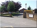
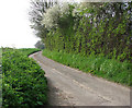
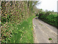
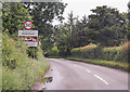
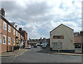
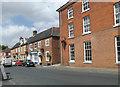
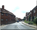
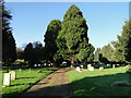
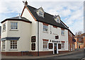
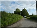
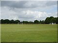
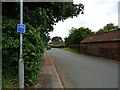
30 photos from this area
Area Information
Key information about the NR10 4JS including its size, population, and administrative classification.
- Area Type
- Postcode
- Area Size
- 7202 m²
- Population
- 1376
- Population Density
- 80 people/km²
House Prices in NR10 4JS
8
Properties
£231,375
Average Sold Price
£58,500
Lowest Price
£365,000
Highest Price
Showing 8 properties
| Address | Type | Beds | Baths | Last Sale Price | Last Sale Date | |
|---|---|---|---|---|---|---|
| Amberlea, 3 Whitwell Road, Reepham, NR10 4JS | Bungalow | 3 | 2 | £365,000 | Jun 2024 | |
| Martins Wood, Whitwell Road, Reepham, NR10 4JS | house | 3 | 1 | £250,000 | Jun 2023 | |
| Sheigra, Whitwell Road, Reepham, NR10 4JS | Bungalow | - | - | £175,000 | Jun 2023 | |
| Virginia House, Whitwell Road, Reepham, NR10 4JS | house | - | - | £335,000 | Sep 2022 | |
| Cheville, Whitwell Road, Reepham, NR10 4JS | Detached | 4 | 1 | £310,500 | Nov 2018 | |
| Tanglewood, Whitwell Road, Reepham, NR10 4JS | Bungalow | 3 | - | £216,000 | May 2014 | |
| White Gates, Whitwell Road, Reepham, NR10 4JS | Detached | - | - | £141,000 | Jan 2003 | |
| The Spinney, Whitwell Road, Reepham, NR10 4JS | Detached | - | - | £58,500 | Jul 1997 |
Energy Efficiency in NR10 4JS
Amenities
Schools
| Rank | School | Type | Entry gender | Ages |
|---|
Explore more schools in this area
Go to Schools tabDemographics
Household Size
Two person
most common
Accommodation Type
Houses
most common
Tenure
64
majority
Ethnic Group
White
most common
Religion
N/A
most common
Household Composition
N/A
most common
Age
47
median
Adults (30-64 years)
most common
Household Deprivation
N/A
with no deprivation
NS-SEC
34
in Lower managerial occupations
Explore more demographic insights in this area
Go to Demographics tabPlanning
Planning Constraints
- Flood RiskPremium
- Ramsar Wetland SitesPremium
- Area of Outstanding Natural BeautyPremium
- Protected Nature ReservePremium
- Protected WoodlandPremium