Area Overview for NR10 4JP
Photos of NR10 4JP
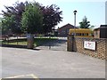
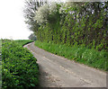
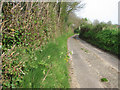
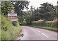
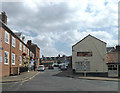
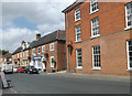
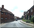
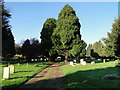
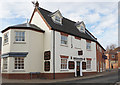
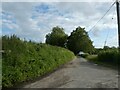
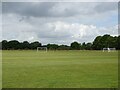
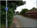
30 photos from this area
Area Information
Key information about the NR10 4JP including its size, population, and administrative classification.
- Area Type
- Postcode
- Area Size
- 4.5 hectares
- Population
- 1376
- Population Density
- 80 people/km²
House Prices in NR10 4JP
41
Properties
£185,286
Average Sold Price
£45,000
Lowest Price
£356,000
Highest Price
Showing 41 properties
| Address | Type | Beds | Baths | Last Sale Price | Last Sale Date | |
|---|---|---|---|---|---|---|
| 41 School Road, Reepham, NR10 4JP | Terraced | 3 | 1 | £267,500 | Jun 2022 | |
| 60 School Road, Reepham, NR10 4JP | house | - | - | £270,000 | May 2021 | |
| 52 School Road, Reepham, NR10 4JP | Semi-detached | 3 | 2 | £237,500 | Nov 2017 | |
| Flambards, 30 School Road, Reepham, NR10 4JP | Terraced | 3 | - | £171,500 | May 2015 | |
| Carefree, 22 School Road, Reepham, NR10 4JP | Terraced | 3 | 1 | £145,000 | Jul 2009 | |
| The Granary, 45 School Road, Reepham, NR10 4JP | house | - | - | £356,000 | Dec 2008 | |
| 44 School Road, Reepham, NR10 4JP | Semi-detached | 4 | 1 | £162,000 | Apr 2008 | |
| School House, 47 School Road, Reepham, NR10 4JP | Detached | - | - | £344,000 | Dec 2006 | |
| 50 School Road, Reepham, NR10 4JP | Semi-detached | - | - | £158,000 | Oct 2006 | |
| 28 School Road, Reepham, NR10 4JP | Semi-detached | - | - | £134,000 | Sep 2005 |
Page 1 of 5
Energy Efficiency in NR10 4JP
Amenities
Schools
| Rank | School | Type | Entry gender | Ages |
|---|
Explore more schools in this area
Go to Schools tabDemographics
Household Size
Two person
most common
Accommodation Type
Houses
most common
Tenure
64
majority
Ethnic Group
White
most common
Religion
N/A
most common
Household Composition
N/A
most common
Age
47
median
Adults (30-64 years)
most common
Household Deprivation
N/A
with no deprivation
NS-SEC
34
in Lower managerial occupations
Explore more demographic insights in this area
Go to Demographics tabPlanning
Planning Constraints
- Flood RiskPremium
- Ramsar Wetland SitesPremium
- Area of Outstanding Natural BeautyPremium
- Protected Nature ReservePremium
- Protected WoodlandPremium