Area Overview for NR10 4DR
Photos of NR10 4DR
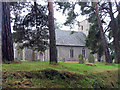

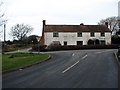


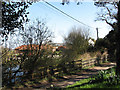

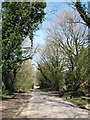

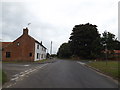
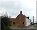
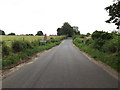
57 photos from this area
Area Information
Key information about the NR10 4DR including its size, population, and administrative classification.
- Area Type
- Postcode
- Area Size
- 66.3 hectares
- Population
- 2320
- Population Density
- 235 people/km²
House Prices in NR10 4DR
29
Properties
£256,341
Average Sold Price
£56,500
Lowest Price
£750,000
Highest Price
Showing 29 properties
| Address | Type | Beds | Baths | Last Sale Price | Last Sale Date | |
|---|---|---|---|---|---|---|
| 21 Taverham Road, Felthorpe, NR10 4DR | Bungalow | 2 | 1 | £272,500 | May 2025 | |
| 31 Taverham Road, Felthorpe, NR10 4DR | Semi-detached | 4 | 2 | £750,000 | Sep 2023 | |
| Rokeby, 18 Taverham Road, Felthorpe, NR10 4DR | Bungalow | 4 | 3 | £405,000 | Jul 2021 | |
| Naszy Zameczek, 27 Taverham Road, Felthorpe, NR10 4DR | Bungalow | - | - | £295,000 | Nov 2019 | |
| 21A Taverham Road, Felthorpe, NR10 4DR | Detached | 4 | 3 | £360,000 | Jun 2019 | |
| Yew Tree Corner, 41 Taverham Road, Felthorpe, NR10 4DR | Cottage | 4 | - | £264,000 | Aug 2015 | |
| Kensington, 40 Taverham Road, Felthorpe, NR10 4DR | Bungalow | - | - | £230,000 | Dec 2014 | |
| Birchwood, 24 Taverham Road, Felthorpe, NR10 4DR | Bungalow | - | - | £185,000 | Dec 2009 | |
| Yew Tree House, 43 Taverham Road, Felthorpe, NR10 4DR | Detached | - | - | £327,500 | Apr 2009 | |
| 20 Taverham Road, Felthorpe, NR10 4DR | Detached | - | - | £179,950 | Dec 2006 |
Page 1 of 3
Energy Efficiency in NR10 4DR
Amenities
Schools
| Rank | School | Type | Entry gender | Ages |
|---|
Explore more schools in this area
Go to Schools tabDemographics
Household Size
Two person
most common
Accommodation Type
Houses
most common
Tenure
73
majority
Ethnic Group
White
most common
Religion
N/A
most common
Household Composition
N/A
most common
Age
47
median
Adults (30-64 years)
most common
Household Deprivation
N/A
with no deprivation
NS-SEC
31
in Lower managerial occupations
Explore more demographic insights in this area
Go to Demographics tabPlanning
Planning Constraints
- Flood RiskPremium
- Ramsar Wetland SitesPremium
- Area of Outstanding Natural BeautyPremium
- Protected Nature ReservePremium
- Protected WoodlandPremium