Area Overview for NR9 5AH
Photos of NR9 5AH
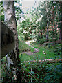
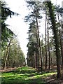
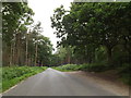
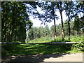
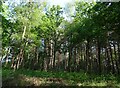
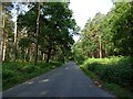
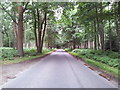
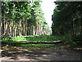
9 photos from this area
Area Information
Key information about the NR9 5AH including its size, population, and administrative classification.
- Area Type
- Postcode
- Area Size
- 2.3 km²
- Population
- 1259
- Population Density
- 29 people/km²
House Prices in NR9 5AH
33
Properties
£254,447
Average Sold Price
£64,000
Lowest Price
£470,000
Highest Price
Showing 33 properties
| Address | Type | Beds | Baths | Last Sale Price | Last Sale Date | |
|---|---|---|---|---|---|---|
| Double Cottage, Upgate, Swannington, NR9 5AH | house | 2 | 2 | £470,000 | Mar 2025 | |
| Brumble Cottage, Upgate, Swannington, NR9 5AH | Semi-detached | 3 | 1 | £318,000 | Jun 2019 | |
| The Martins, Upgate, Swannington, NR9 5AH | house | 3 | - | £250,000 | Mar 2019 | |
| Long Acre, Upgate, Swannington, NR9 5AH | house | - | - | £330,000 | Oct 2012 | |
| Upgate Cottage, Upgate, Swannington, NR9 5AH | house | - | - | £310,000 | Mar 2009 | |
| The Pink House, Upgate, Swannington, NR9 5AH | Detached | - | - | £64,000 | Jan 1999 | |
| Cherry Tree Cottage, Upgate, Swannington, NR9 5AH | Detached | - | - | £165,077 | Oct 1998 | |
| Corner Cottage, Upgate, Swannington, NR9 5AH | Detached | 4 | 2 | £128,500 | Sep 1998 | |
| Upgate Barn, Upgate, Swannington, NR9 5AH | Semi-detached | 6 | 1 | - | - | |
| Waverley, Upgate, Swannington, NR9 5AH | house | 4 | - | - | - |
Page 1 of 4
Energy Efficiency in NR9 5AH
Amenities
Schools
| Rank | School | Type | Entry gender | Ages |
|---|
Explore more schools in this area
Go to Schools tabDemographics
Household Size
Two person
most common
Accommodation Type
Houses
most common
Tenure
75
majority
Ethnic Group
White
most common
Religion
N/A
most common
Household Composition
N/A
most common
Age
47
median
Adults (30-64 years)
most common
Household Deprivation
N/A
with no deprivation
NS-SEC
36
in Lower managerial occupations
Explore more demographic insights in this area
Go to Demographics tabPlanning
Planning Constraints
- Flood RiskPremium
- Ramsar Wetland SitesPremium
- Area of Outstanding Natural BeautyPremium
- Protected Nature ReservePremium
- Protected WoodlandPremium