Area Overview for NR10 4BX
Photos of NR10 4BX
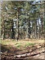
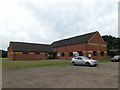
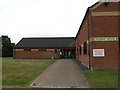
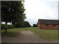
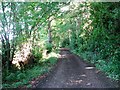
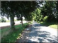
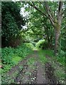
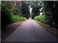
29 photos from this area
Area Information
Key information about the NR10 4BX including its size, population, and administrative classification.
- Area Type
- Postcode
- Area Size
- 32.5 hectares
- Population
- 2320
- Population Density
- 235 people/km²
House Prices in NR10 4BX
15
Properties
£304,688
Average Sold Price
£170,000
Lowest Price
£575,000
Highest Price
Showing 15 properties
| Address | Type | Beds | Baths | Last Sale Price | Last Sale Date | |
|---|---|---|---|---|---|---|
| Woodstock, Hall Lane, Felthorpe, NR10 4BX | Bungalow | - | - | £575,000 | Sep 2022 | |
| Spinney Ridge, Hall Lane, Felthorpe, NR10 4BX | Detached | 4 | 4 | £575,000 | May 2022 | |
| Foxwood Cottage, 53 Hall Lane, Felthorpe, NR10 4BX | Semi-detached | 3 | 1 | £250,000 | Jan 2019 | |
| Hope Cottage, Hall Lane, Felthorpe, NR10 4BX | house | - | - | £235,000 | Feb 2018 | |
| Wildhaven, Hall Lane, Felthorpe, NR10 4BX | Detached | 4 | 4 | £250,000 | Nov 2011 | |
| 52 Hall Lane, Felthorpe, NR10 4BX | house | - | - | £177,500 | Apr 2011 | |
| Hall Cottage, Hall Lane, Felthorpe, NR10 4BX | house | - | - | £170,000 | Feb 2011 | |
| Tree Tops, Hall Lane, Felthorpe, NR10 4BX | Bungalow | - | - | £205,000 | May 2009 | |
| 51 Hall Lane, Felthorpe, NR10 4BX | Terraced | - | - | - | - | |
| 47 Hall Lane, Felthorpe, NR10 4BX | Semi-detached | - | - | - | - |
Page 1 of 2
Energy Efficiency in NR10 4BX
Amenities
Schools
| Rank | School | Type | Entry gender | Ages |
|---|
Explore more schools in this area
Go to Schools tabDemographics
Household Size
Two person
most common
Accommodation Type
Houses
most common
Tenure
73
majority
Ethnic Group
White
most common
Religion
N/A
most common
Household Composition
N/A
most common
Age
47
median
Adults (30-64 years)
most common
Household Deprivation
N/A
with no deprivation
NS-SEC
31
in Lower managerial occupations
Explore more demographic insights in this area
Go to Demographics tabPlanning
Planning Constraints
- Flood RiskPremium
- Ramsar Wetland SitesPremium
- Area of Outstanding Natural BeautyPremium
- Protected Nature ReservePremium
- Protected WoodlandPremium