Area Overview for NR10 4AA
Photos of NR10 4AA

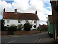


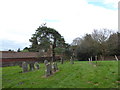

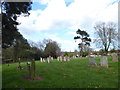
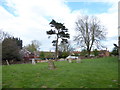
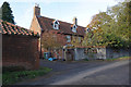
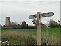
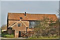
83 photos from this area
Area Information
Key information about the NR10 4AA including its size, population, and administrative classification.
- Area Type
- Postcode
- Area Size
- 9818 m²
- Population
- 1827
- Population Density
- 55 people/km²
House Prices in NR10 4AA
15
Properties
£290,708
Average Sold Price
£41,000
Lowest Price
£700,000
Highest Price
Showing 15 properties
| Address | Type | Beds | Baths | Last Sale Price | Last Sale Date | |
|---|---|---|---|---|---|---|
| Sun Dial House, 16 High Street, Cawston, NR10 4AA | Terraced | 4 | 2 | £475,000 | Mar 2023 | |
| 18 High Street, Cawston, NR10 4AA | Retail | 4 | 3 | £700,000 | Apr 2022 | |
| 8 High Street, Cawston, NR10 4AA | Semi-detached | 5 | 3 | £519,000 | Mar 2018 | |
| Garden Cottage, 22 High Street, Cawston, NR10 4AA | Semi-detached | 2 | 2 | £292,500 | Jul 2017 | |
| The Poplars, 10 High Street, Cawston, NR10 4AA | house | 3 | - | £240,000 | Apr 2015 | |
| Whitehouse Farm, High Street, Cawston, NR10 4AA | Semi-detached | 5 | 2 | £345,000 | Dec 2014 | |
| Catkin Cottage, 24 High Street, Cawston, NR10 4AA | Terraced | 3 | 2 | £170,000 | Jul 2009 | |
| 12 High Street, Cawston, NR10 4AA | Terraced | 4 | 1 | £170,000 | Oct 2007 | |
| Sun Dial House, 14 High Street, Cawston, NR10 4AA | Terraced | - | - | £197,500 | Feb 2006 | |
| Old Kings Head, High Street, Cawston, NR10 4AA | Terraced | - | - | £260,000 | Apr 2004 |
Page 1 of 2
Energy Efficiency in NR10 4AA
Amenities
Schools
| Rank | School | Type | Entry gender | Ages |
|---|
Explore more schools in this area
Go to Schools tabDemographics
Household Size
Two person
most common
Accommodation Type
Houses
most common
Tenure
65
majority
Ethnic Group
White
most common
Religion
N/A
most common
Household Composition
N/A
most common
Age
47
median
Adults (30-64 years)
most common
Household Deprivation
N/A
with no deprivation
NS-SEC
29
in Lower managerial occupations
Explore more demographic insights in this area
Go to Demographics tabPlanning
Planning Constraints
- Flood RiskPremium
- Ramsar Wetland SitesPremium
- Area of Outstanding Natural BeautyPremium
- Protected Nature ReservePremium
- Protected WoodlandPremium