Area Overview for NR10 3PN
Photos of NR10 3PN
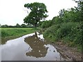
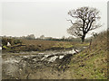
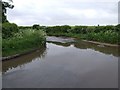
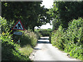
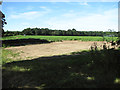
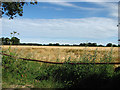
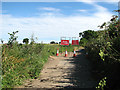
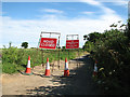
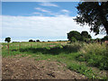
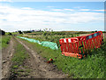
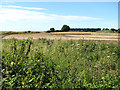
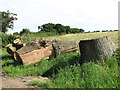
31 photos from this area
Area Information
Key information about the NR10 3PN including its size, population, and administrative classification.
- Area Type
- Postcode
- Area Size
- 1.9 km²
- Population
- 1083
- Population Density
- 176 people/km²
House Prices in NR10 3PN
17
Properties
£258,250
Average Sold Price
£50,000
Lowest Price
£480,000
Highest Price
Showing 17 properties
| Address | Type | Beds | Baths | Last Sale Price | Last Sale Date | |
|---|---|---|---|---|---|---|
| 334 Buxton Road, Spixworth, NR10 3PN | Bungalow | 3 | 1 | £290,000 | Sep 2024 | |
| 326 Buxton Road, Spixworth, NR10 3PN | Bungalow | 3 | 1 | £480,000 | Apr 2024 | |
| 318 Buxton Road, Spixworth, NR10 3PN | Semi-detached | 5 | 2 | £372,000 | Oct 2020 | |
| 343 Buxton Road, Spixworth, NR10 3PN | house | - | - | £192,500 | Jan 2020 | |
| 345 Buxton Road, Spixworth, NR10 3PN | house | - | - | £165,000 | Jul 2016 | |
| Cherry Bank, 330 Buxton Road, Spixworth, NR10 3PN | Detached | - | - | £50,000 | May 1996 | |
| The Oaks, 338 Buxton Road, Spixworth, NR10 3PN | Bungalow | 3 | 1 | - | - | |
| Springbank, 328 Buxton Road, Spixworth, NR10 3PN | Bungalow | 3 | 2 | - | - | |
| Annexe, 321 Buxton Road, Spixworth, NR10 3PN | Flat | - | - | - | - | |
| 322 Buxton Road, Spixworth, NR10 3PN | Detached | - | - | - | - |
Page 1 of 2
Energy Efficiency in NR10 3PN
Amenities
Schools
| Rank | School | Type | Entry gender | Ages |
|---|
Explore more schools in this area
Go to Schools tabDemographics
Household Size
Family (3-5 people)
most common
Accommodation Type
Houses
most common
Tenure
86
majority
Ethnic Group
White
most common
Religion
N/A
most common
Household Composition
N/A
most common
Age
47
median
Adults (30-64 years)
most common
Household Deprivation
N/A
with no deprivation
NS-SEC
30
in Lower managerial occupations
Explore more demographic insights in this area
Go to Demographics tabPlanning
Planning Constraints
- Flood RiskPremium
- Ramsar Wetland SitesPremium
- Area of Outstanding Natural BeautyPremium
- Protected Nature ReservePremium
- Protected WoodlandPremium