Area Overview for NR10 3HU
Photos of NR10 3HU

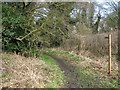
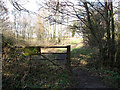
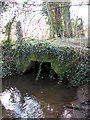
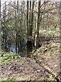
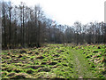
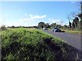
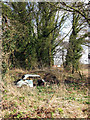
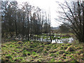
13 photos from this area
Area Information
Key information about the NR10 3HU including its size, population, and administrative classification.
- Area Type
- Postcode
- Area Size
- 32.6 hectares
- Population
- 1792
- Population Density
- 245 people/km²
House Prices in NR10 3HU
31
Properties
£269,909
Average Sold Price
£50,000
Lowest Price
£435,000
Highest Price
Showing 31 properties
| Address | Type | Beds | Baths | Last Sale Price | Last Sale Date | |
|---|---|---|---|---|---|---|
| 47 Coltishall Lane, Horsham St Faith, NR10 3HU | house | 3 | - | £273,000 | Sep 2022 | |
| Willow Tree House, 53 Coltishall Lane, Horsham St Faith, NR10 3HU | house | - | - | £400,000 | Sep 2021 | |
| Portview House, 17 Coltishall Lane, Horsham St Faith, NR10 3HU | Detached | 4 | 2 | £407,500 | Dec 2020 | |
| Capri, 15 Coltishall Lane, Horsham St Faith, NR10 3HU | Bungalow | 3 | 1 | £237,500 | Jun 2020 | |
| The Paddocks, 55D Coltishall Lane, Horsham St Faith, NR10 3HU | house | - | - | £50,000 | Jan 2017 | |
| Willow Barn, 59 Coltishall Lane, Horsham St Faith, NR10 3HU | Detached | 4 | - | £435,000 | Aug 2016 | |
| Wheelhouse, 5 Coltishall Lane, Horsham St Faith, NR10 3HU | Detached | 4 | - | £271,000 | Feb 2015 | |
| Rose Cottage, 21 Coltishall Lane, Horsham St Faith, NR10 3HU | Detached | - | - | £289,000 | Aug 2007 | |
| La Paz, 11 Coltishall Lane, Horsham St Faith, NR10 3HU | Detached | - | - | £175,000 | Jul 2007 | |
| 19 Coltishall Lane, Horsham St Faith, NR10 3HU | Semi-detached | - | - | £201,000 | Jun 2005 |
Page 1 of 4
Energy Efficiency in NR10 3HU
Amenities
Schools
| Rank | School | Type | Entry gender | Ages |
|---|
Explore more schools in this area
Go to Schools tabDemographics
Household Size
Two person
most common
Accommodation Type
Houses
most common
Tenure
72
majority
Ethnic Group
White
most common
Religion
N/A
most common
Household Composition
N/A
most common
Age
47
median
Adults (30-64 years)
most common
Household Deprivation
N/A
with no deprivation
NS-SEC
30
in Lower managerial occupations
Explore more demographic insights in this area
Go to Demographics tabPlanning
Planning Constraints
- Flood RiskPremium
- Ramsar Wetland SitesPremium
- Area of Outstanding Natural BeautyPremium
- Protected Nature ReservePremium
- Protected WoodlandPremium