Area Overview for MK45 2QY
Photos of MK45 2QY
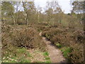
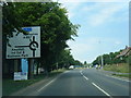
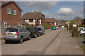
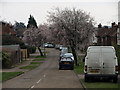
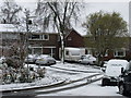
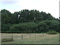
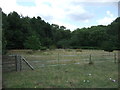
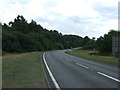
29 photos from this area
Area Information
Key information about the MK45 2QY including its size, population, and administrative classification.
- Area Type
- Postcode
- Area Size
- 8.5 hectares
- Population
- 2327
- Population Density
- 253 people/km²
House Prices in MK45 2QY
9
Properties
£470,000
Average Sold Price
£440,000
Lowest Price
£500,000
Highest Price
Showing 9 properties
| Address | Type | Beds | Baths | Last Sale Price | Last Sale Date | |
|---|---|---|---|---|---|---|
| Station House, Station Road, Ampthill, MK45 2QY | Detached | 4 | 2 | £440,000 | Jan 2023 | |
| WOODLAND HOUSE, STATION ROAD, Ampthill, MK45 2QY | Detached | - | - | £500,000 | Jan 2019 | |
| Eckart Uk Ltd, Unit C, The Sidings, Station Road, Ampthill, MK45 2QY | shop | - | - | - | - | |
| C J Transport, Unit E, Station Road, Ampthill, MK45 2QY | assembly_leisure | - | - | - | - | |
| Sgb Rovacabin, Station Road, Ampthill, MK45 2QY | warehouse | - | - | - | - | |
| Unit D, The Sidings, Station Road, Ampthill, MK45 2QY | Industrial | - | - | - | - | |
| Unit 18A, Station Road, Ampthill, MK45 2QY | Industrial | - | - | - | - | |
| Classic Finishers, Station Road, Ampthill, MK45 2QY | office_workshop | - | - | - | - | |
| Unit 1, The Sidings, Station Road, Ampthill, MK45 2QY | general_industrial | - | - | - | - |
Energy Efficiency in MK45 2QY
Amenities
Schools
| Rank | School | Type | Entry gender | Ages |
|---|
Explore more schools in this area
Go to Schools tabDemographics
Household Size
Family (3-5 people)
most common
Accommodation Type
Houses
most common
Tenure
85
majority
Ethnic Group
White
most common
Religion
N/A
most common
Household Composition
N/A
most common
Age
47
median
Adults (30-64 years)
most common
Household Deprivation
N/A
with no deprivation
NS-SEC
51
in Lower managerial occupations
Explore more demographic insights in this area
Go to Demographics tabPlanning
Planning Constraints
- Flood RiskPremium
- Ramsar Wetland SitesPremium
- Area of Outstanding Natural BeautyPremium
- Protected Nature ReservePremium
- Protected WoodlandPremium